Forgotten History
Burg Raabs an der Thaya
Austria
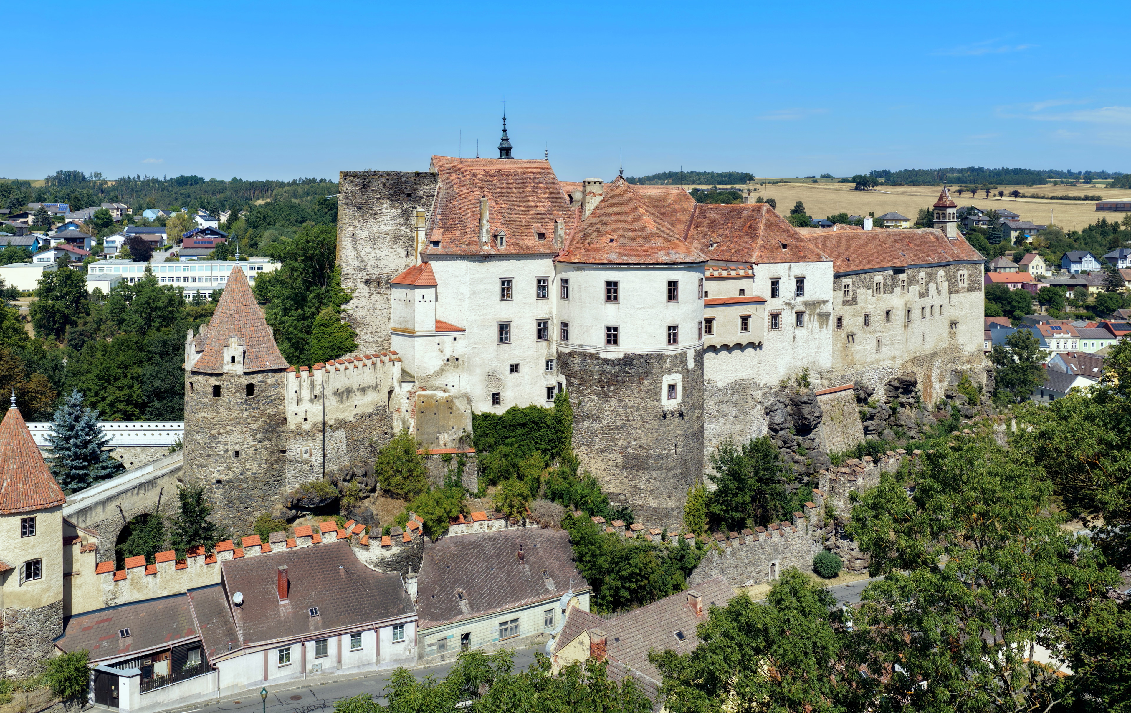
Burg Raabs an der Thaya is a castle in the municipality of Raabs an der Thaya, Lower Austria, Austria, built in the second half of the 11th century. It is 456 metres (1,496 ft) above sea level.
- Category
- Forgotten History
- Location
- Austria
- Address
- Oberndorf bei Raabs 1
- Coordinates
- 48.84700, 15.49010
- How to get there
- Google MapsApple MapsOpenStreetMap
- Wikidata
- Q365970
What is Burg Raabs an der Thaya?
Burg Raabs an der Thaya is a Forgotten History place on VeroMaps, on Oberndorf bei Raabs 1. Other places close by: Burgruine Kollmitz, Ruine Liebenberg, Gaberkirche, St. Magdalena (Unterthürnau).
Where is Burg Raabs an der Thaya?
Burg Raabs an der Thaya is in Austria. Coordinates: 48.84700, 15.49010.
How do I get to Burg Raabs an der Thaya?
Burg Raabs an der Thaya is at Oberndorf bei Raabs 1, Austria (48.84700, 15.49010). Enter these coordinates in Google Maps, Apple Maps or OpenStreetMap for walking, cycling or driving directions.