Photo corners
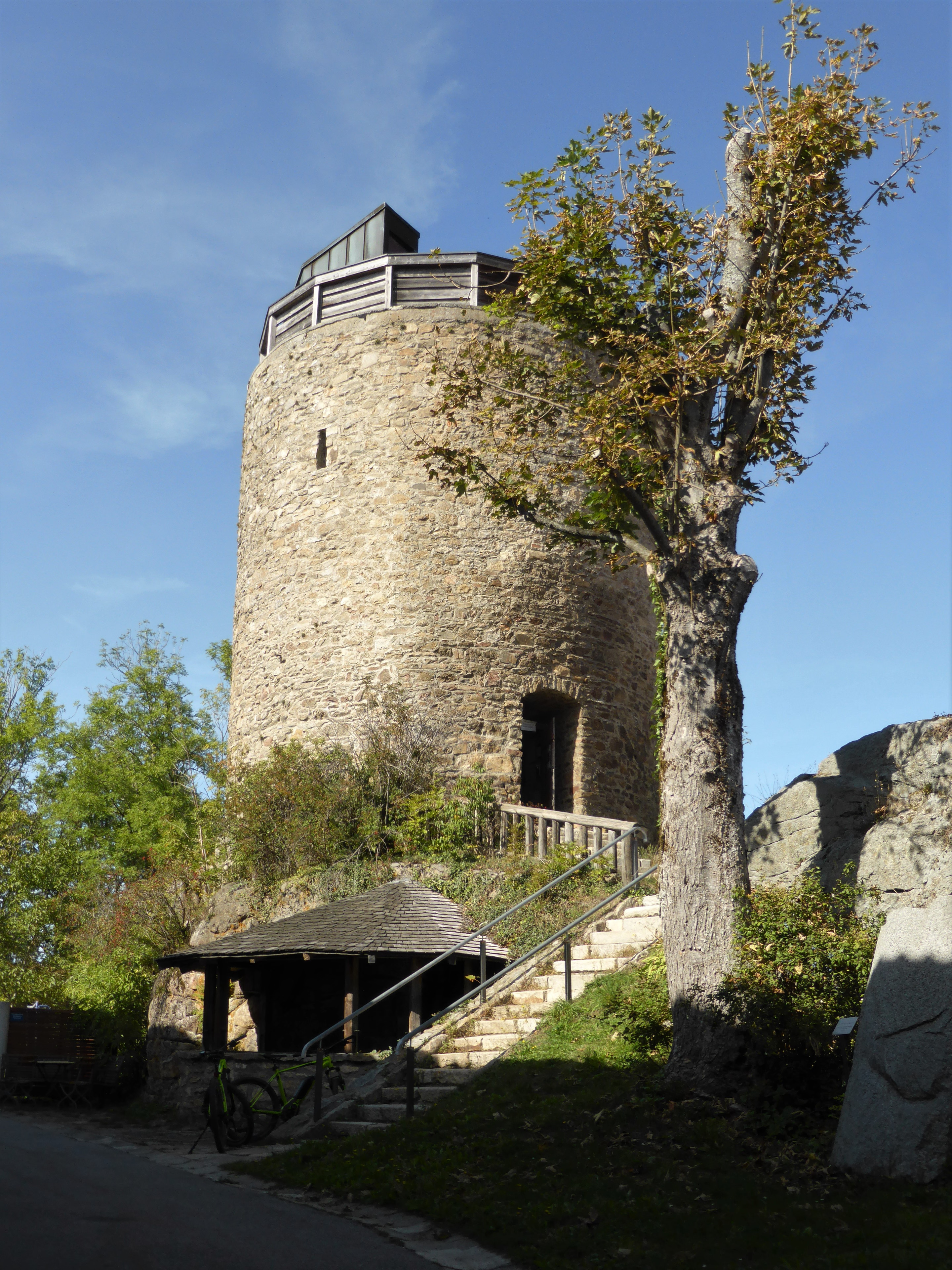
Burg Kollnburg
In Kollnburg, Germany
Die Burgruine Kollnburg ist die Ruine einer Höhenburg auf etwa 660 m ü. NHN westlich der Pfarrkirche der Gemeinde Kollnburg im Landkreis Regen in Bayern. Die Anlage wird als Bau- (D-2-76-128-2) und Bodendenkmal (D-2-6943-0111) geführt.
- Category
- Photo Spots
- Location
- In Kollnburg, Germany
- Coordinates
- 49.04770, 12.86020
- How to get there
- Google MapsApple MapsOpenStreetMap
- Wikidata
- Q1015382
What is Burg Kollnburg?
Burg Kollnburg is a Photo Spots place on VeroMaps. Other places close by: Burg Neunußberg, Burg Altnußberg, Burg Linden, Burg Neurandsberg.
Where is Burg Kollnburg?
Burg Kollnburg is in In Kollnburg, Germany. Coordinates: 49.04770, 12.86020.
How do I get to Burg Kollnburg?
Burg Kollnburg is at In Kollnburg, Germany (49.04770, 12.86020). Enter these coordinates in Google Maps, Apple Maps or OpenStreetMap for walking, cycling or driving directions.