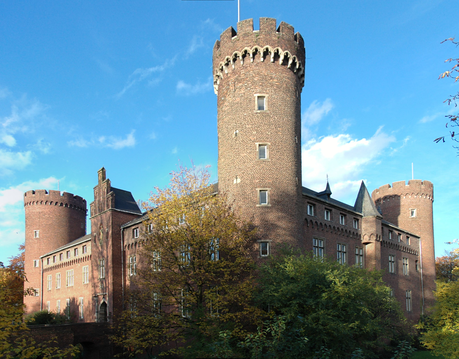
Forgotten History
Burg Kempen
Kempen, Germany
Kempen Castle is a former state castle of the Archbishops of Cologne, which served to protect the Electorate of Cologne's territory on its northwestern border. It is located in the northeastern city center of the Lower Rhine town of Kempen in the Viersen district. Extensively changed in the 19th century in the Neo-Gothic style, it dates back to a medieval foundation and, along with Zülpich Castle, is considered the “best-preserved Electoral Cologne castle of the 14th century” because no other complex in the Electorate of Cologne can boast so much of the original building structure from its early days. Until the French invaded in 1794, it was the residence of the mayor of the city and office of Kempen, who was also the electoral waiter.
- Category
- Forgotten History
- Location
- Kempen, Germany
- Coordinates
- 51.36680, 6.42142
- How to get there
- Google MapsApple MapsOpenStreetMap
- Wikidata
- Q1012638
What is Burg Kempen?
Burg Kempen is a Forgotten History place on VeroMaps. Other places close by: Neersdommer Mühle, Wasserturm Grefrath, Burg Hüls, Nettmühle.
Where is Burg Kempen?
Burg Kempen is in Kempen, Germany. Coordinates: 51.36680, 6.42142.
How do I get to Burg Kempen?
Burg Kempen is at Kempen, Germany (51.36680, 6.42142). Enter these coordinates in Google Maps, Apple Maps or OpenStreetMap for walking, cycling or driving directions.