Forgotten History
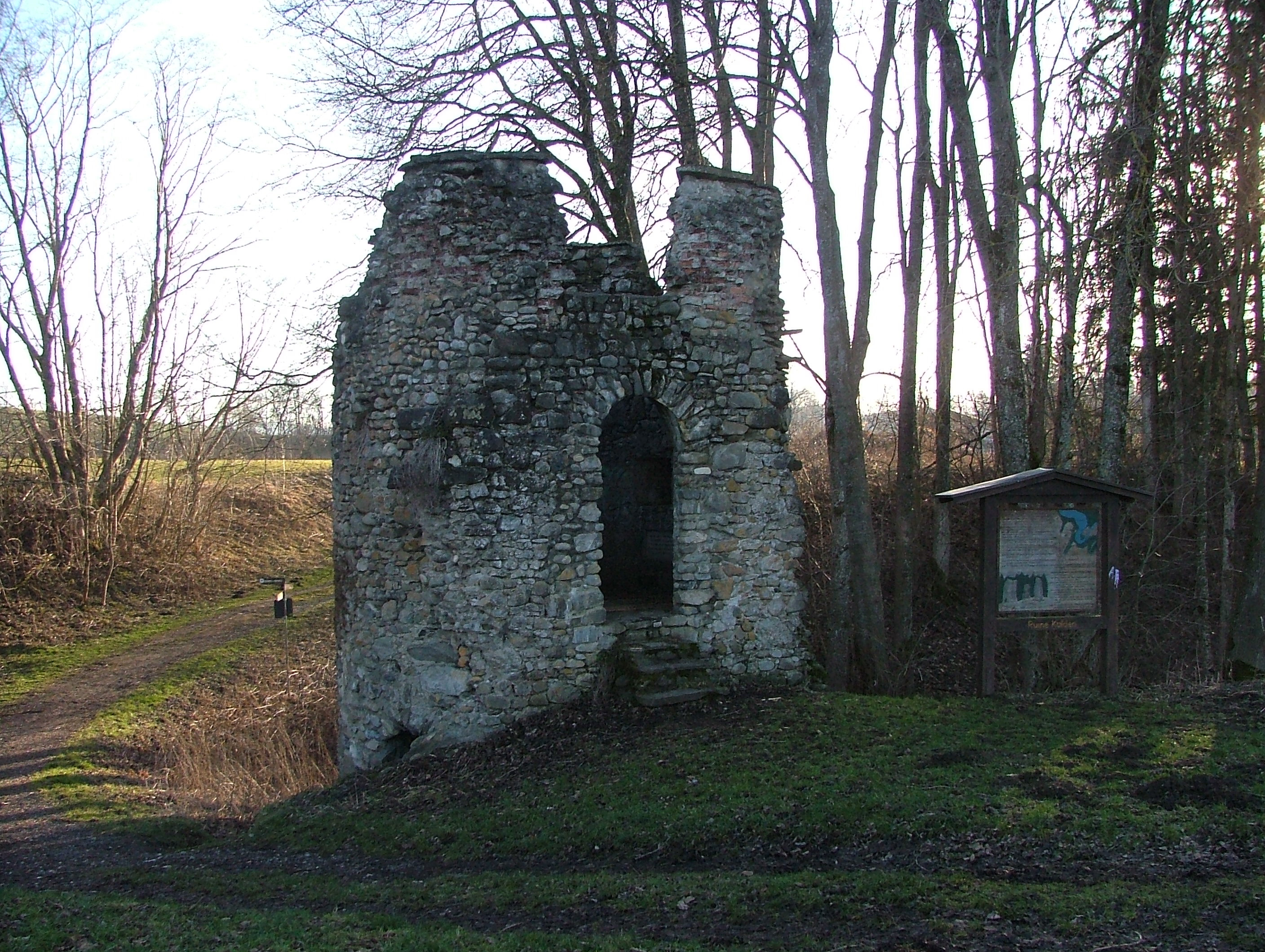
Burg Kalden
Ruine Kalden, Germany
Kalden Castle, also called Neu-Kalden, is a castle ruin at 710 m above sea level. NHN north of the Altusried market in the Swabian district of Oberallgäu in Bavaria. The castle grounds are designated as an archaeological monument by the Bavarian State Office for Monument Preservation with ID D-7-8127-0027 in the list of archaeological monuments in Altusried.
- Category
- Forgotten History
- Location
- Ruine Kalden, Germany
- Address
- Kalden, Ruine Kalden
- Coordinates
- 47.82380, 10.20010
- How to get there
- Google MapsApple MapsOpenStreetMap
- Wikidata
- Q1012597
What is Burg Kalden?
Burg Kalden is a Forgotten History place on VeroMaps, on Kalden. Other places close by: St. Fanz Xaver, St. Anna, Castle Rothenstein, Burg Hohentann.
Where is Burg Kalden?
Burg Kalden is in Ruine Kalden, Germany. Coordinates: 47.82380, 10.20010.
How do I get to Burg Kalden?
Burg Kalden is at Kalden, Ruine Kalden, Germany (47.82380, 10.20010). Enter these coordinates in Google Maps, Apple Maps or OpenStreetMap for walking, cycling or driving directions.