Forgotten History
Burg im Riesebusch
Bad Schwartau, Germany
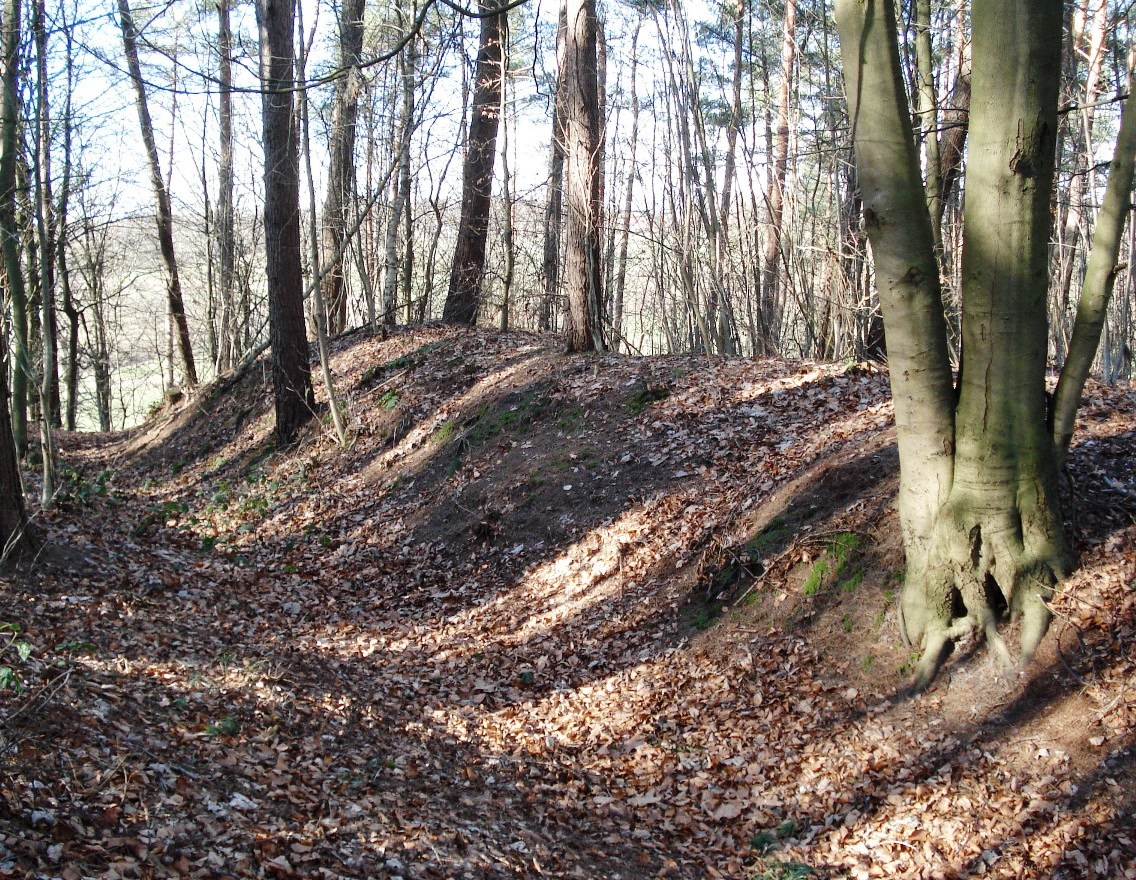
The Riesebusch Castle was a hilltop castle in the Riesebusch forest in the area of the town of Bad Schwartau in the Ostholstein district of Schleswig-Holstein. The remains of the castle, which dates back to the 13th century, are located on a long and narrow ridge of up to 16 meters high, surrounded by a loop of the Schwartau river, in the northernmost part of the Riesebusch on the so-called “Lange Hörn”. For the construction of the castle complex, the top (“Lange Hörn”) of the ridge was separated and fortified over a length of 500 meters by ramparts and ditches (which can still be seen today). Due to the steep slopes on the west and east sides of the ridge, no earth-moving fortifications were required there.
- Category
- Forgotten History
- Location
- Bad Schwartau, Germany
- Coordinates
- 53.93580, 10.70500
- How to get there
- Google MapsApple MapsOpenStreetMap
- Wikidata
- Q1014715
What is Burg im Riesebusch?
Burg im Riesebusch is a Forgotten History place on VeroMaps. Other places close by: St. George's Chapel, Wasserturm Bad Schwartau, Großsteingrab Offendorf, Lübeck transmitter.
Where is Burg im Riesebusch?
Burg im Riesebusch is in Bad Schwartau, Germany. Coordinates: 53.93580, 10.70500.
How do I get to Burg im Riesebusch?
Burg im Riesebusch is at Bad Schwartau, Germany (53.93580, 10.70500). Enter these coordinates in Google Maps, Apple Maps or OpenStreetMap for walking, cycling or driving directions.