Forgotten History
Burg Denstedt
Kromsdorf, Germany
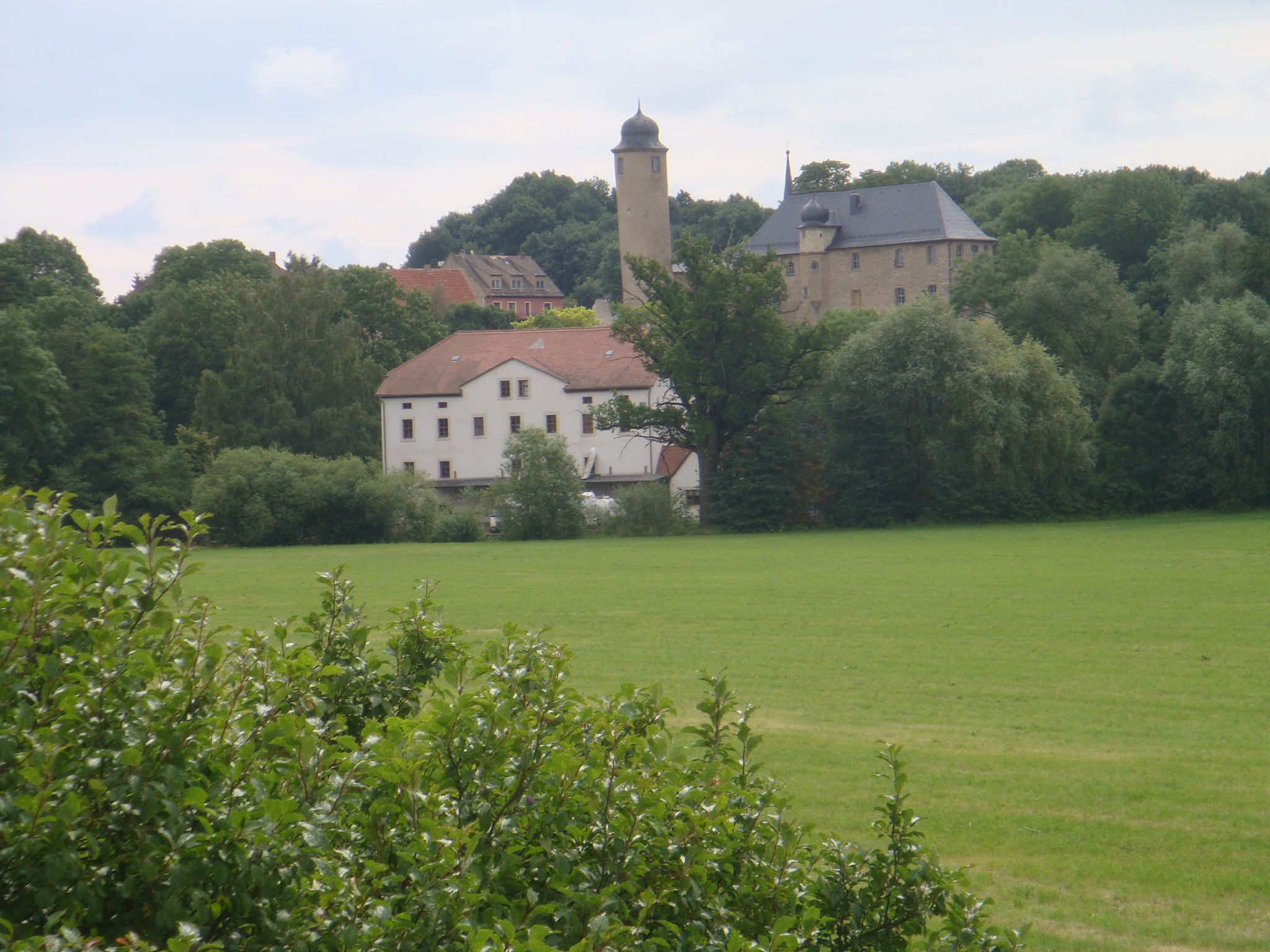
Die Burg Denstedt liegt auf einem flachen Bergsporn westlich des Ortes. Denstedt gehört zur Gemeinde Ilmtal-Weinstraße und liegt etwa 8 km nordöstlich von Weimar. Das Gelände fällt im Norden zur Ilm und im Westen zum Erlenbach hin ab. Im südlichen Tal schließt sich eine Parkanlage an, die der Erlenbach durchfließt. Der markante Bergfried der dem Ort westlich vorgelagerten Schlossanlage ist von der Landstraße aus Tiefurt kommend schon von weitem sichtbar.
- Category
- Forgotten History
- Location
- Kromsdorf, Germany
- Coordinates
- 51.00080, 11.38240
- How to get there
- Google MapsApple MapsOpenStreetMap
- Wikidata
- Q1011431
What is Burg Denstedt?
Burg Denstedt is a Forgotten History place on VeroMaps. Other places close by: Tiefurt House, Bärenhügel, Schloss Weimar, Gelbes Schloss.
Where is Burg Denstedt?
Burg Denstedt is in Kromsdorf, Germany. Coordinates: 51.00080, 11.38240.
How do I get to Burg Denstedt?
Burg Denstedt is at Kromsdorf, Germany (51.00080, 11.38240). Enter these coordinates in Google Maps, Apple Maps or OpenStreetMap for walking, cycling or driving directions.