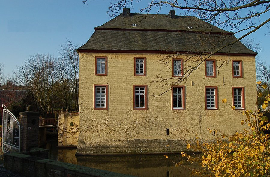
Forgotten History
Burg Anstel
Pulheim, Germany
Die Burg Anstel ist eine Wasserburg im Rommerskirchener Ortsteil Anstel (Wasserburgstraße 30) im Rhein-Kreis Neuss in Nordrhein-Westfalen. Die Wasserburg ist das älteste profane Baudenkmal von Rommerskirchen.
- Category
- Forgotten History
- Location
- Pulheim, Germany
- Coordinates
- 51.06160, 6.71477
- How to get there
- Google MapsApple MapsOpenStreetMap
- Wikidata
- Q1010818
What is Burg Anstel?
Burg Anstel is a Forgotten History place on VeroMaps. Other places close by: Lambertuskapelle, Burg Geretzhoven, Schloss Arff, Rath - Rather Mühle.
Where is Burg Anstel?
Burg Anstel is in Pulheim, Germany. Coordinates: 51.06160, 6.71477.
How do I get to Burg Anstel?
Burg Anstel is at Pulheim, Germany (51.06160, 6.71477). Enter these coordinates in Google Maps, Apple Maps or OpenStreetMap for walking, cycling or driving directions.