Photo corners
Brockholes
Preston, United Kingdom
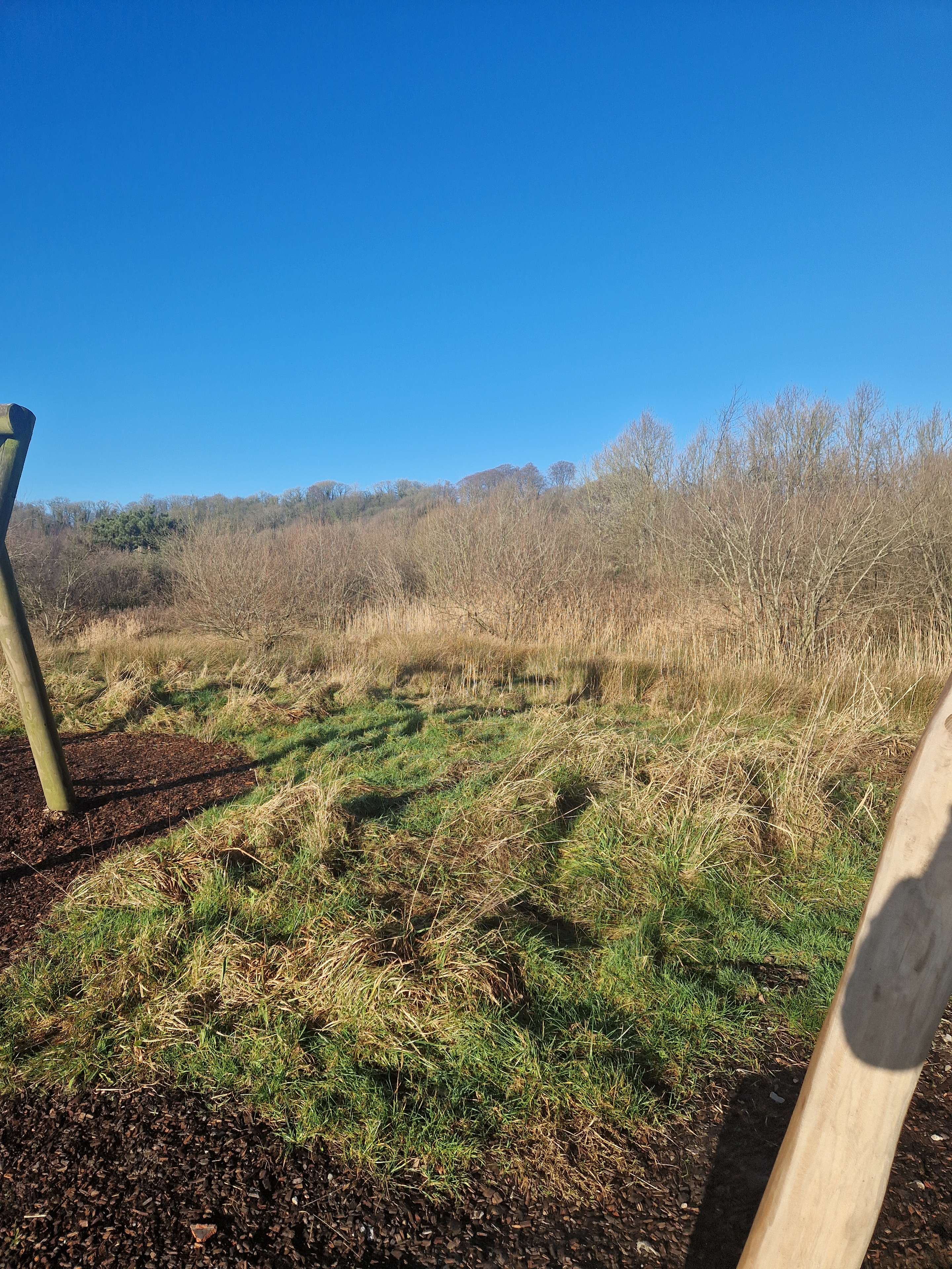
Brockholes is a nature reserve near Preston, Lancashire, England, just off Junction 31 of the M6 motorway. It is owned by the Wildlife Trust for Lancashire, Manchester and North Merseyside. Situated in the flood-plain of the river Ribble, it has the UK's first floating visitor village. Brockholes was previously a major quarry extraction site. The land was bought by the Trust in January 2007, and the reserve opened to the public at Easter 2011. It has been regenerated as a mosaic of key habitats such as pools, reedbeds and woodland. The reserve is aimed less at dedicated bird-watchers and nature lovers than the general public of the big cities. The riverbank is covered in steaming ferns and rampant Himalayan balsam. Brockholes offers a wide range of events throughout the year and over 250 acres of trails and hides. It has already seen record numbers of breeding wading birds along with visitors such as osprey, otter and bittern.
- Category
- Photo Spots
- Location
- Preston, United Kingdom
- Coordinates
- 53.77300, -2.63100
- How to get there
- Google MapsApple MapsOpenStreetMap
- Wikidata
- Q4972805
What is Brockholes?
Brockholes is a Photo Spots place on VeroMaps. Other places close by: Alston Hall, Black Horse, Corn Exchange, Cuerden Hall.
Where is Brockholes?
Brockholes is in Preston, United Kingdom. Coordinates: 53.77300, -2.63100.
How do I get to Brockholes?
Brockholes is at Preston, United Kingdom (53.77300, -2.63100). Enter these coordinates in Google Maps, Apple Maps or OpenStreetMap for walking, cycling or driving directions.