Photo corners
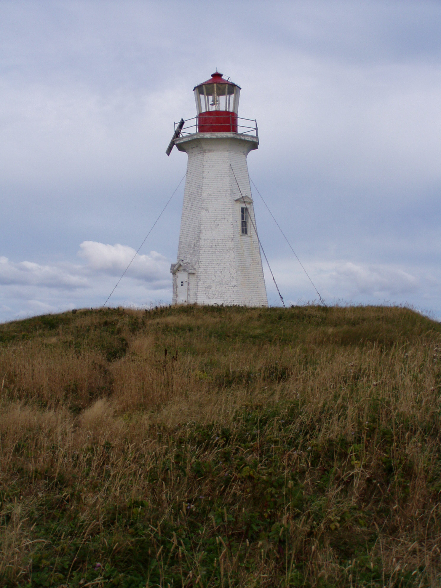
Brion Island lighthouse
Grosse-Île, Canada
Le phare de l'île-Brion est un phare du Québec (Canada) situé à l’extrémité ouest de l'île Brion. Construit en 1904, il est construit selon un plan type de phare construit au début du XXe siècle du ministère de la Marine et des Pêches du Canada. Il a été cité monument historique en 2006.
- Category
- Photo Spots
- Location
- Grosse-Île, Canada
- Coordinates
- 47.78472, -61.50694
- How to get there
- Google MapsApple MapsOpenStreetMap
- Wikidata
- Q3378438
What is Brion Island lighthouse?
Brion Island lighthouse is a Photo Spots place on VeroMaps. Other places close by: L'Étang-du-Nord lighthouse, Anse-à-la-Cabane Lighthouse.
Where is Brion Island lighthouse?
Brion Island lighthouse is in Grosse-Île, Canada. Coordinates: 47.78472, -61.50694.
How do I get to Brion Island lighthouse?
Brion Island lighthouse is at Grosse-Île, Canada (47.78472, -61.50694). Enter these coordinates in Google Maps, Apple Maps or OpenStreetMap for walking, cycling or driving directions.