Photo corners
Brändöskär
Luleå Municipality, Sweden
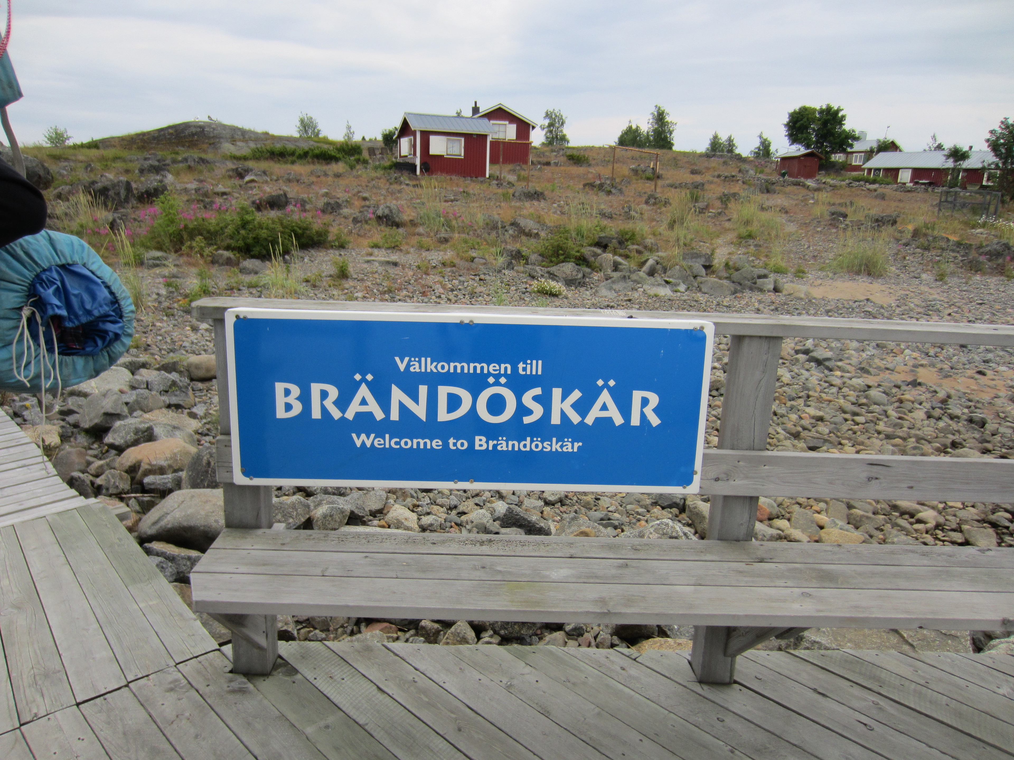
Brändöskär and Uddskär are two islands in the northwest of the Swedish sector of the Bay of Bothnia, in the Luleå archipelago, joined by an isthmus. In the past there was a large summer fishing village around the bay between the two islands. Many of the buildings remain, and are now used for recreational purposes.
- Category
- Photo Spots
- Location
- Luleå Municipality, Sweden
- Coordinates
- 65.52643, 22.79971
- How to get there
- Google MapsApple MapsOpenStreetMap
- Wikidata
- Q2369300
What is Brändöskär?
Brändöskär is a Photo Spots place on VeroMaps. Other places close by: Likskäret, SSAB Luleå, Malören, Bjuröklubb.
Where is Brändöskär?
Brändöskär is in Luleå Municipality, Sweden. Coordinates: 65.52643, 22.79971.
How do I get to Brändöskär?
Brändöskär is at Luleå Municipality, Sweden (65.52643, 22.79971). Enter these coordinates in Google Maps, Apple Maps or OpenStreetMap for walking, cycling or driving directions.