Night Life
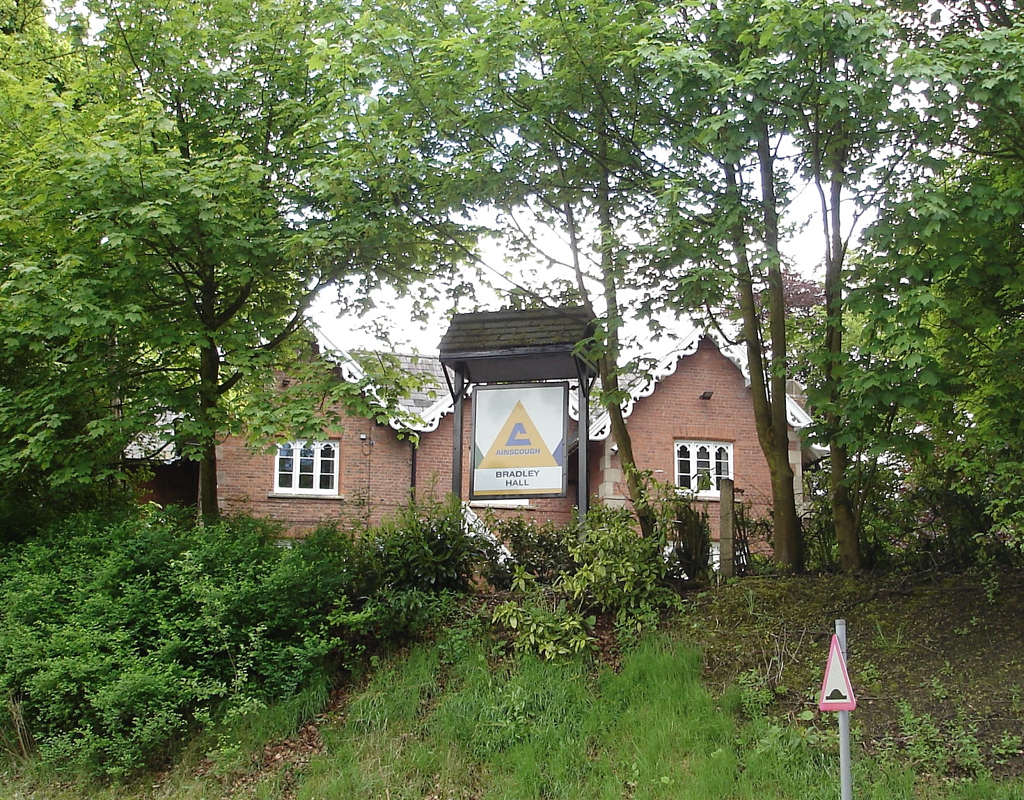
Bradley Hall Public House
Oxford, United Kingdom
Bradley Hall is a Grade II* listed building on Bradley Lane in Standish, a village within the Metropolitan Borough of Wigan, Greater Manchester, England. Historically part of Lancashire and originally a timber-framed house, it was encased in brick with stone dressings in the mid‑19th century and later operated as a public house.
- Category
- Night Life
- Location
- Oxford, United Kingdom
- Coordinates
- 53.59390, -2.65051
- How to get there
- Google MapsApple MapsOpenStreetMap
- Wikidata
- Q17533718
What is Bradley Hall Public House?
Bradley Hall Public House is a Night Life place on VeroMaps. Other places close by: Haigh Hall, The Springfield Public House, Colliers Arms Public House, The Whitesmiths Arms.
Where is Bradley Hall Public House?
Bradley Hall Public House is in Oxford, United Kingdom. Coordinates: 53.59390, -2.65051.
How do I get to Bradley Hall Public House?
Bradley Hall Public House is at Oxford, United Kingdom (53.59390, -2.65051). Enter these coordinates in Google Maps, Apple Maps or OpenStreetMap for walking, cycling or driving directions.