Forgotten History
Blens Castle
Düren, Germany
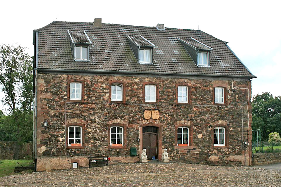
Blens Castle (German: Burg Blens) stands at a height of 205 m above sea level (NHN) on the eastern edge of Blens, a town quarter of Heimbach (Eifel) above the River Rur in the county of Düren, in the German state of North Rhine-Westphalia.
- Category
- Forgotten History
- Location
- Düren, Germany
- Coordinates
- 50.65940, 6.48306
- How to get there
- Google MapsApple MapsOpenStreetMap
- Wikidata
- Q1011080
What is Blens Castle?
Blens Castle is a Forgotten History place on VeroMaps. Other places close by: Burg Hausen, Burg Hengebach, Dürener Tor (Nideggen), Burg Vlatten.
Where is Blens Castle?
Blens Castle is in Düren, Germany. Coordinates: 50.65940, 6.48306.
How do I get to Blens Castle?
Blens Castle is at Düren, Germany (50.65940, 6.48306). Enter these coordinates in Google Maps, Apple Maps or OpenStreetMap for walking, cycling or driving directions.