Urbex & Abandoned
Black Castle
East Lothian, United Kingdom
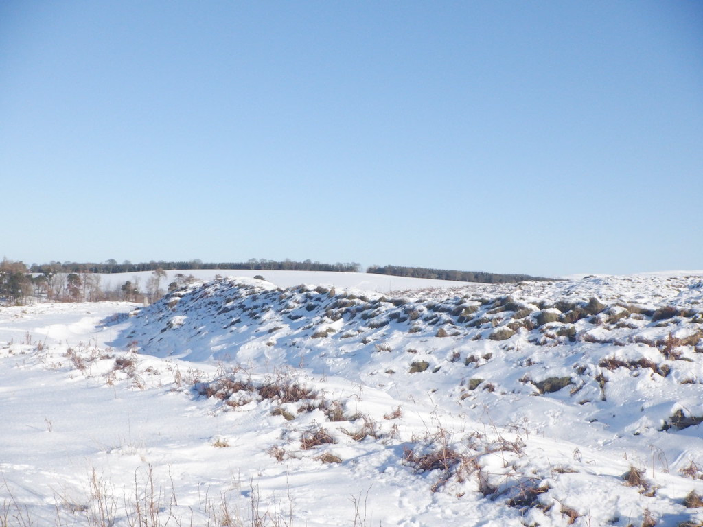
Black Castle, East Lothian is an Iron Age hillfort with a number of defensive banks, located 5 kilometres (3.1 mi) south-east of Gifford, East Lothian, Scotland. It is south of the B6355 road, between Darent House and Green Castle hillfort. The fort is on the summit of a hillock, at 900 feet (270 m). It measures about 380 by 340 feet (120 by 100 m). It has an inner and an outer rampart, and two entrances marked by causeways. To the west is a plantation named Black Castle wood. It is a designated scheduled monument.
- Category
- Urbex & Abandoned
- Location
- East Lothian, United Kingdom
- Coordinates
- 55.88698, -2.67320
- How to get there
- Google MapsApple MapsOpenStreetMap
- Wikidata
- Q4920500
What is Black Castle?
Black Castle is a Urbex & Abandoned place on VeroMaps. Other places close by: White Castle, Hailes Castle, Barnes Castle, Dunbar Castle.
Where is Black Castle?
Black Castle is in East Lothian, United Kingdom. Coordinates: 55.88698, -2.67320.
How do I get to Black Castle?
Black Castle is at East Lothian, United Kingdom (55.88698, -2.67320). Enter these coordinates in Google Maps, Apple Maps or OpenStreetMap for walking, cycling or driving directions.