Forgotten History
Birg (Hohenschäftlarn)
Schaftlarn, Germany
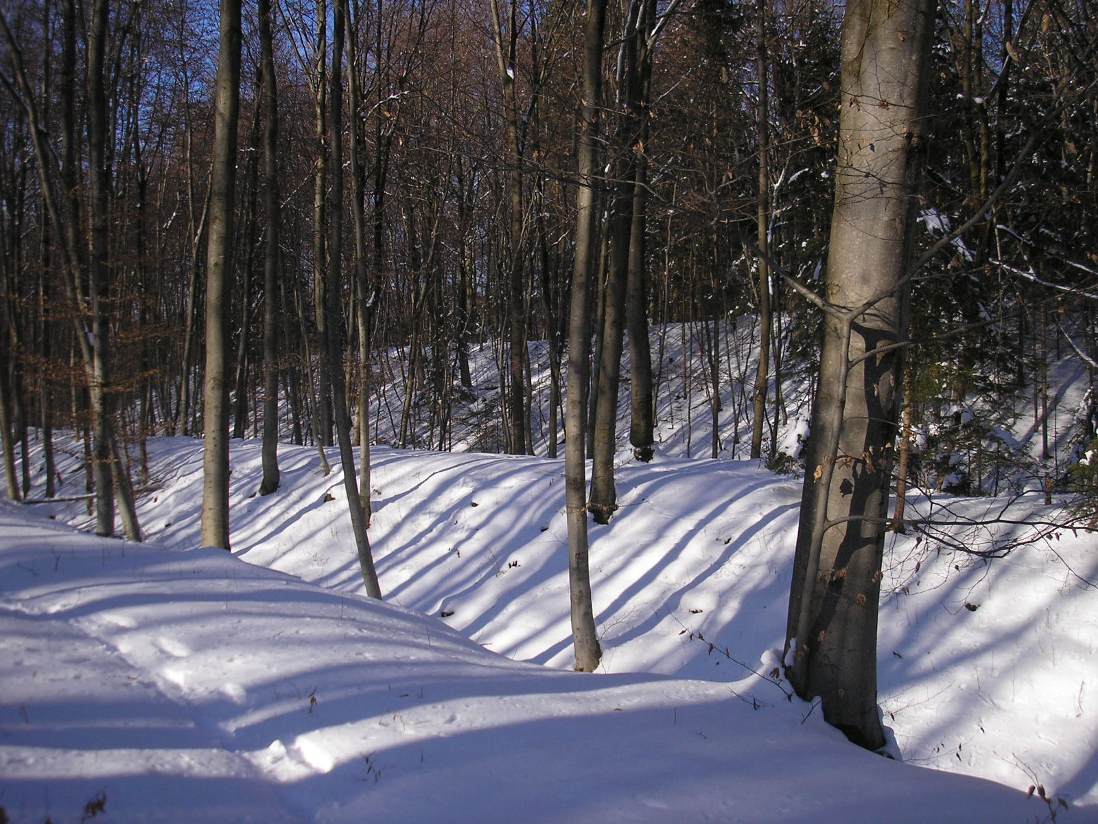
Die weitläufige Abschnittsbefestigung Birg (auch Bürg, Burg) liegt etwa 1500 Meter nordöstlich der Pfarrkirche von Hohenschäftlarn über dem oberbayerischen Isartal auf dem Gebiet der Gemeinde Baierbrunn im Landkreis München. Das Bodendenkmal wird in seiner letzten Ausbaustufe als frühmittelalterliche Ungarnschutzburg interpretiert.
- Category
- Forgotten History
- Location
- Schaftlarn, Germany
- Coordinates
- 47.99589, 11.47154
- How to get there
- Google MapsApple MapsOpenStreetMap
- Wikidata
- Q865131
What is Birg (Hohenschäftlarn)?
Birg (Hohenschäftlarn) is a Forgotten History place on VeroMaps. Other places close by: St. Ulrich (Mühlthal), Marienkapelle, Gasthof zur Post, Römerschanze.
Where is Birg (Hohenschäftlarn)?
Birg (Hohenschäftlarn) is in Schaftlarn, Germany. Coordinates: 47.99589, 11.47154.
How do I get to Birg (Hohenschäftlarn)?
Birg (Hohenschäftlarn) is at Schaftlarn, Germany (47.99589, 11.47154). Enter these coordinates in Google Maps, Apple Maps or OpenStreetMap for walking, cycling or driving directions.