Urbex & Abandoned
Bingham Canyon Mine
Salt Lake County, United States
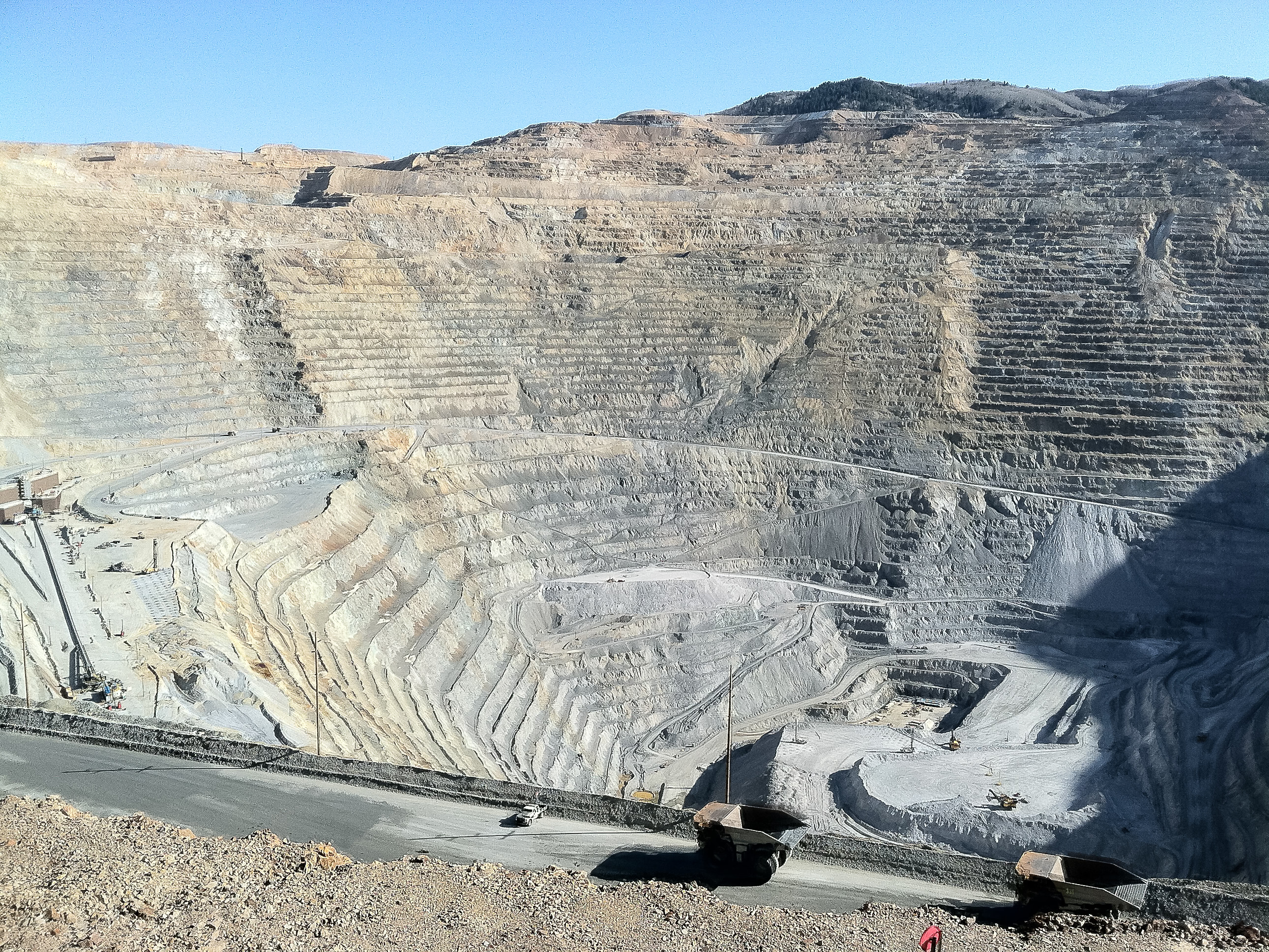
The Bingham Canyon Mine, more commonly known as Kennecott Copper Mine among locals, is an open-pit mining operation extracting a large porphyry copper deposit southwest of Salt Lake City, Utah, in the Oquirrh Mountains. The mine is the largest human-made excavation, and deepest open-pit mine in the world, which is considered to have produced more copper than any other mine in history – more than 19,000,000 short tons (17,000,000 long tons; 17,000,000 t). The mine is owned by Rio Tinto Group, a British-Australian multinational corporation. The copper operations at Bingham Canyon Mine are managed through Kennecott Utah Copper Corporation which operates the mine, a concentrator plant, a smelter, and a refinery. The mine has been in production since 1906, and has resulted in the creation of a pit over 0.75 miles (1,210 m) deep, 2.5 miles (4 km) wide, and covering 1,900 acres (3.0 sq mi; 770 ha; 7.7 km2). It was designated a National Historic Landmark in 1966 under the name Bingham Canyon Open Pit Copper Mine. The mine experienced a massive landslide in April 2013 and a smaller slide in September 2013.
- Category
- Urbex & Abandoned
- Location
- Salt Lake County, United States
- Coordinates
- 40.52222, -112.14944
- How to get there
- Google MapsApple MapsOpenStreetMap
- Wikidata
- Q2450901
What is Bingham Canyon Mine?
Bingham Canyon Mine is a Urbex & Abandoned place on VeroMaps. Other places close by: Conservation Garden Park, Draper Poultrymen and Egg Producers' Plant, International Peace Gardens, Sun Trapp.
Where is Bingham Canyon Mine?
Bingham Canyon Mine is in Salt Lake County, United States. Coordinates: 40.52222, -112.14944.
How do I get to Bingham Canyon Mine?
Bingham Canyon Mine is at Salt Lake County, United States (40.52222, -112.14944). Enter these coordinates in Google Maps, Apple Maps or OpenStreetMap for walking, cycling or driving directions.