Urbex & Abandoned
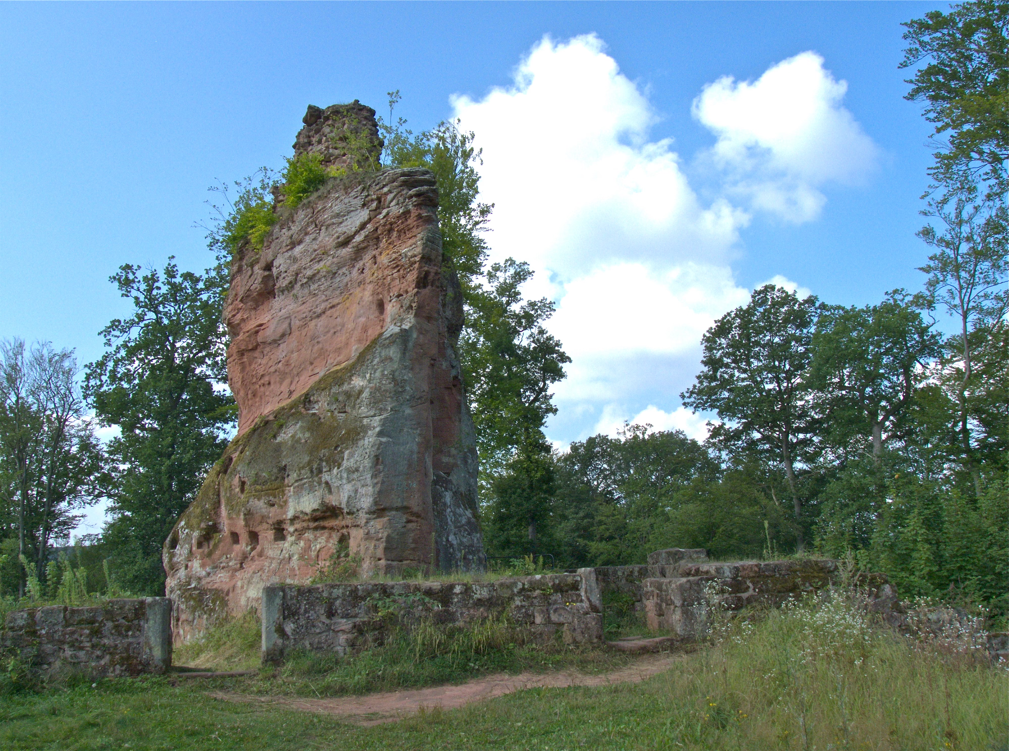
Beilstein castle ruins
Kaiserslautern, Germany
The Beilstein castle ruins used to be one of the smaller Reich ministerial castles and are now a natural and cultural monument. The remains of the rock castle are located about two kilometers east of Kaiserslautern on federal highway 37 to Hochspeyer at 313 m above sea level. The ruin probably owes its name to the ax shape of the castle rock.
- Category
- Urbex & Abandoned
- Location
- Kaiserslautern, Germany
- Coordinates
- 49.43310, 7.84556
- How to get there
- Google MapsApple MapsOpenStreetMap
- Wikidata
- Q1010930
What is Beilstein castle ruins?
Beilstein castle ruins is a Urbex & Abandoned place on VeroMaps. Other places close by: Humberg Tower, Zum Spinnrädl, Kaiserpfalz Kaiserslautern, Schlachtenturm.
Where is Beilstein castle ruins?
Beilstein castle ruins is in Kaiserslautern, Germany. Coordinates: 49.43310, 7.84556.
How do I get to Beilstein castle ruins?
Beilstein castle ruins is at Kaiserslautern, Germany (49.43310, 7.84556). Enter these coordinates in Google Maps, Apple Maps or OpenStreetMap for walking, cycling or driving directions.