Urbex & Abandoned
Bathampton Down
United Kingdom
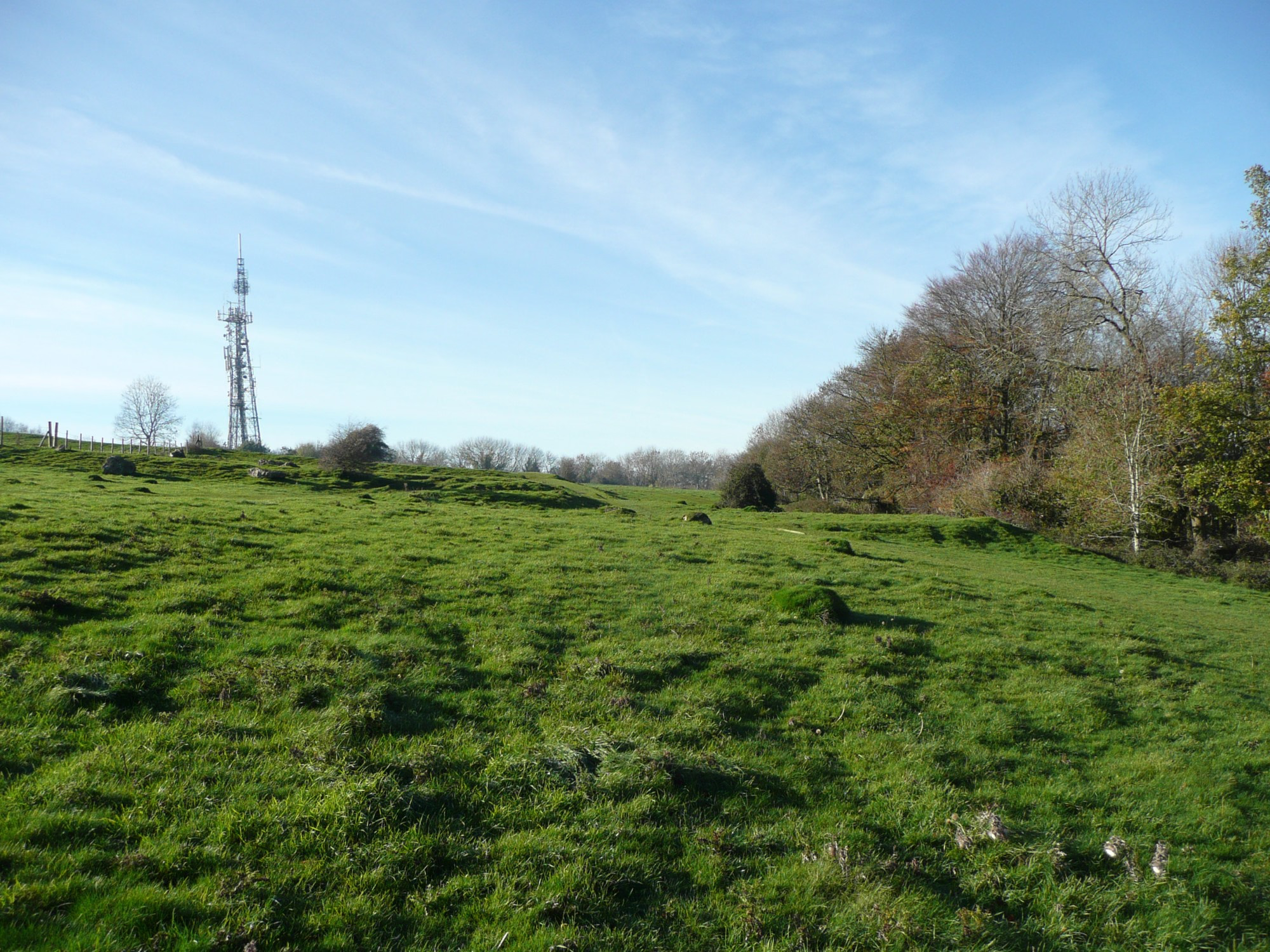
Bathampton Down is a flat limestone plateau near Bathampton, Somerset, England, overlooking the River Avon and the city of Bath. There is evidence of human activity at the site since the Mesolithic period, including Bathampton Camp, an Iron Age hillfort or stock enclosure. It has also been used for quarrying, and part of it is now a golf course.
- Category
- Urbex & Abandoned
- Location
- United Kingdom
- Coordinates
- 51.38470, -2.32620
- How to get there
- Google MapsApple MapsOpenStreetMap
- Wikidata
- Q4868983
What is Bathampton Down?
Bathampton Down is a Urbex & Abandoned place on VeroMaps. Other places close by: Empire Hotel, Bath, The Old Police Station, The Oliver Public House, The Old Green Tree Public House.
Where is Bathampton Down?
Bathampton Down is in United Kingdom. Coordinates: 51.38470, -2.32620.
How do I get to Bathampton Down?
Bathampton Down is at United Kingdom (51.38470, -2.32620). Enter these coordinates in Google Maps, Apple Maps or OpenStreetMap for walking, cycling or driving directions.