Urbex & Abandoned
Błota Gord
Poland
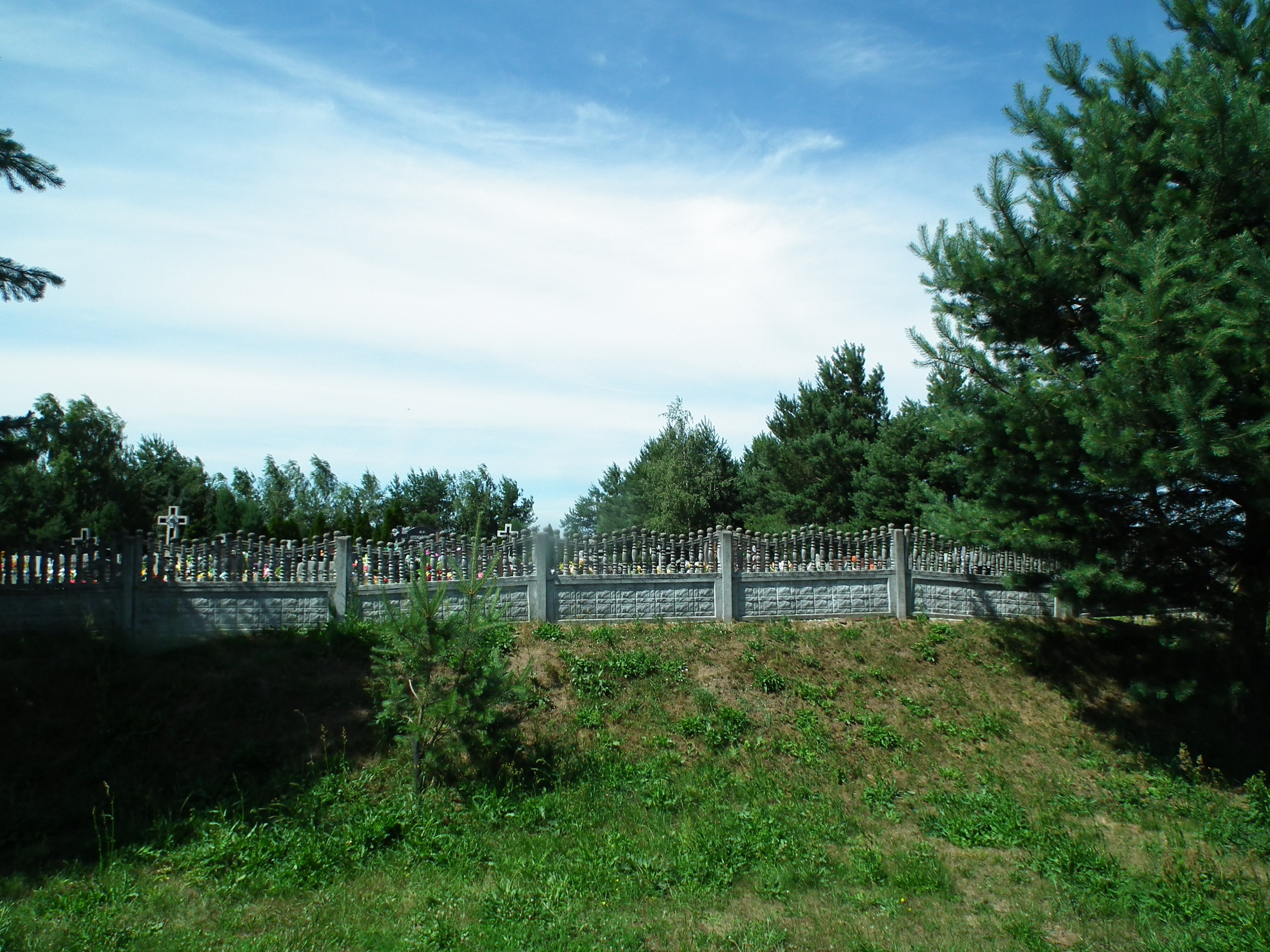
Grodzisko w Błotach – grodzisko stożkowe zlokalizowane w Zamczu, części wsi Błota (gmina Lubsza, województwo opolskie), na działce nr 252.
- Category
- Urbex & Abandoned
- Location
- Poland
- Coordinates
- 50.94478, 17.45489
- How to get there
- Google MapsApple MapsOpenStreetMap
- Wikidata
- Q86668850
What is Błota Gord?
Błota Gord is a Urbex & Abandoned place on VeroMaps. Other places close by: Brzeg Castle, Castle in Jelcz-Laskowice, Palace in Jelcz-Laskowice, Palace in Jakubowice.
Where is Błota Gord?
Błota Gord is in Poland. Coordinates: 50.94478, 17.45489.
How do I get to Błota Gord?
Błota Gord is at Poland (50.94478, 17.45489). Enter these coordinates in Google Maps, Apple Maps or OpenStreetMap for walking, cycling or driving directions.