Forgotten History
Avaricum
Bourges, France
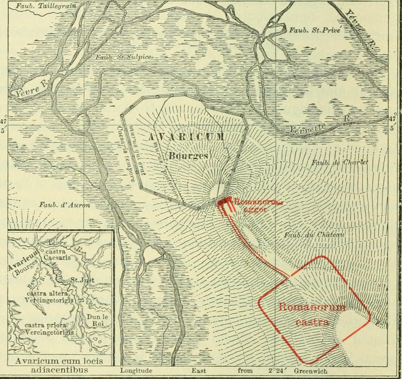
Avaricum was an oppidum in ancient Gaul, near what is now the city of Bourges. Avaricum, situated in the lands of the Bituriges Cubi, was the largest and best-fortified town within their territory, situated on very fertile lands.
- Category
- Forgotten History
- Location
- Bourges, France
- Coordinates
- 47.08444, 2.39639
- How to get there
- Google MapsApple MapsOpenStreetMap
- Wikidata
- Q281826
What is Avaricum?
Avaricum is a Forgotten History place on VeroMaps. Other places close by: Château d'eau de Bourges, Château de Bois-Sire-Amé, Château de Quincy, Château de Blosset.
Where is Avaricum?
Avaricum is in Bourges, France. Coordinates: 47.08444, 2.39639.
How do I get to Avaricum?
Avaricum is at Bourges, France (47.08444, 2.39639). Enter these coordinates in Google Maps, Apple Maps or OpenStreetMap for walking, cycling or driving directions.