Forgotten History
Auwemahuis
Leek, Netherlands
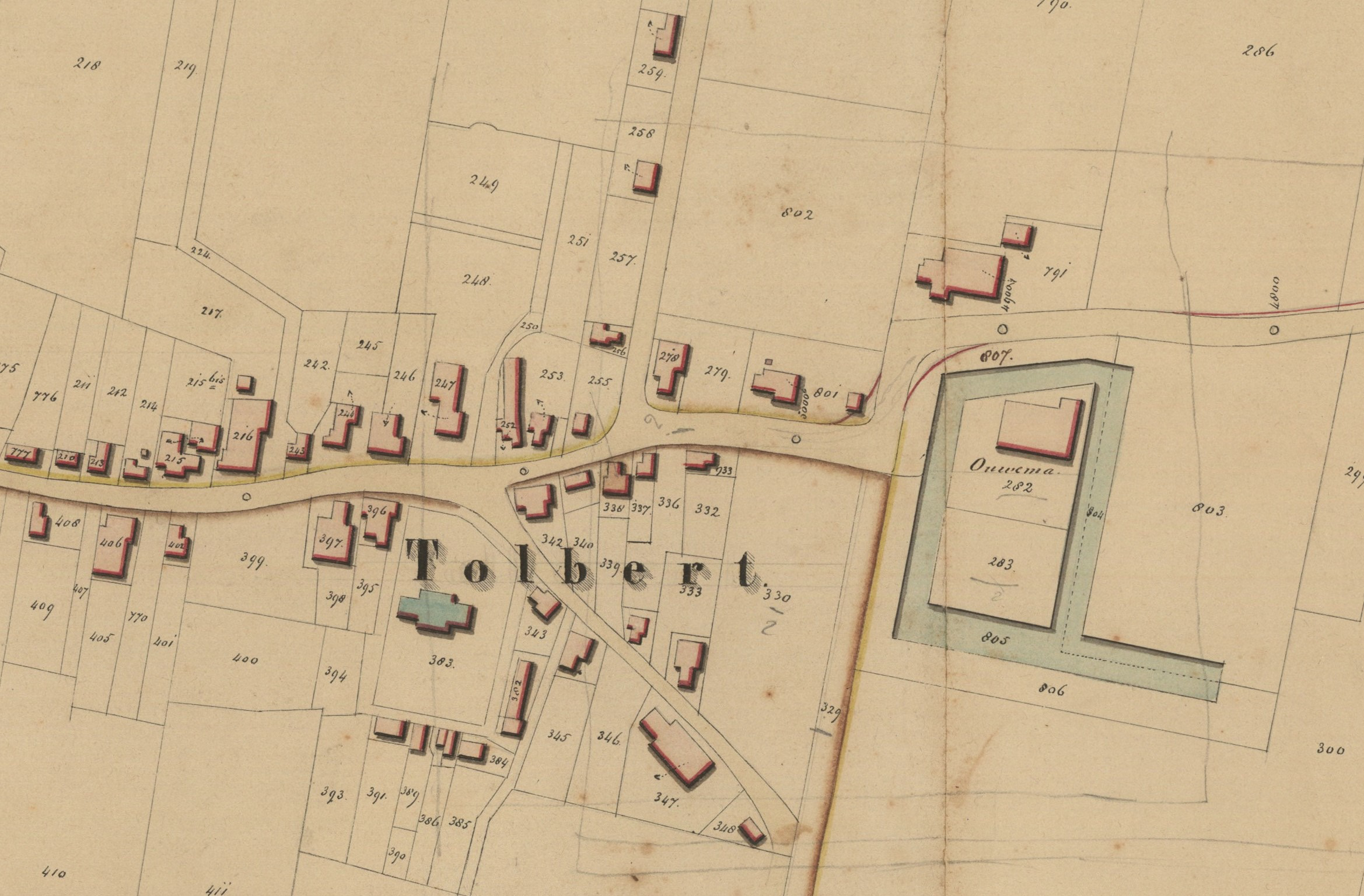
The Auwemahuis was a deposit in the Groningen village of Tolbert. The castle was demolished between 1756 and 1762 and nothing remains of the building. However, part of the canal has been preserved.
- Category
- Forgotten History
- Location
- Leek, Netherlands
- Coordinates
- 53.17353, 6.36419
- How to get there
- Google MapsApple MapsOpenStreetMap
- Wikidata
- Q33219551
What is Auwemahuis?
Auwemahuis is a Forgotten History place on VeroMaps. Other places close by: Hervormde kerk (Tolbert), church of Midwolde, church of Niebert, Nieberter molen.
Where is Auwemahuis?
Auwemahuis is in Leek, Netherlands. Coordinates: 53.17353, 6.36419.
How do I get to Auwemahuis?
Auwemahuis is at Leek, Netherlands (53.17353, 6.36419). Enter these coordinates in Google Maps, Apple Maps or OpenStreetMap for walking, cycling or driving directions.