Forgotten History
Arles Amphitheatre
France
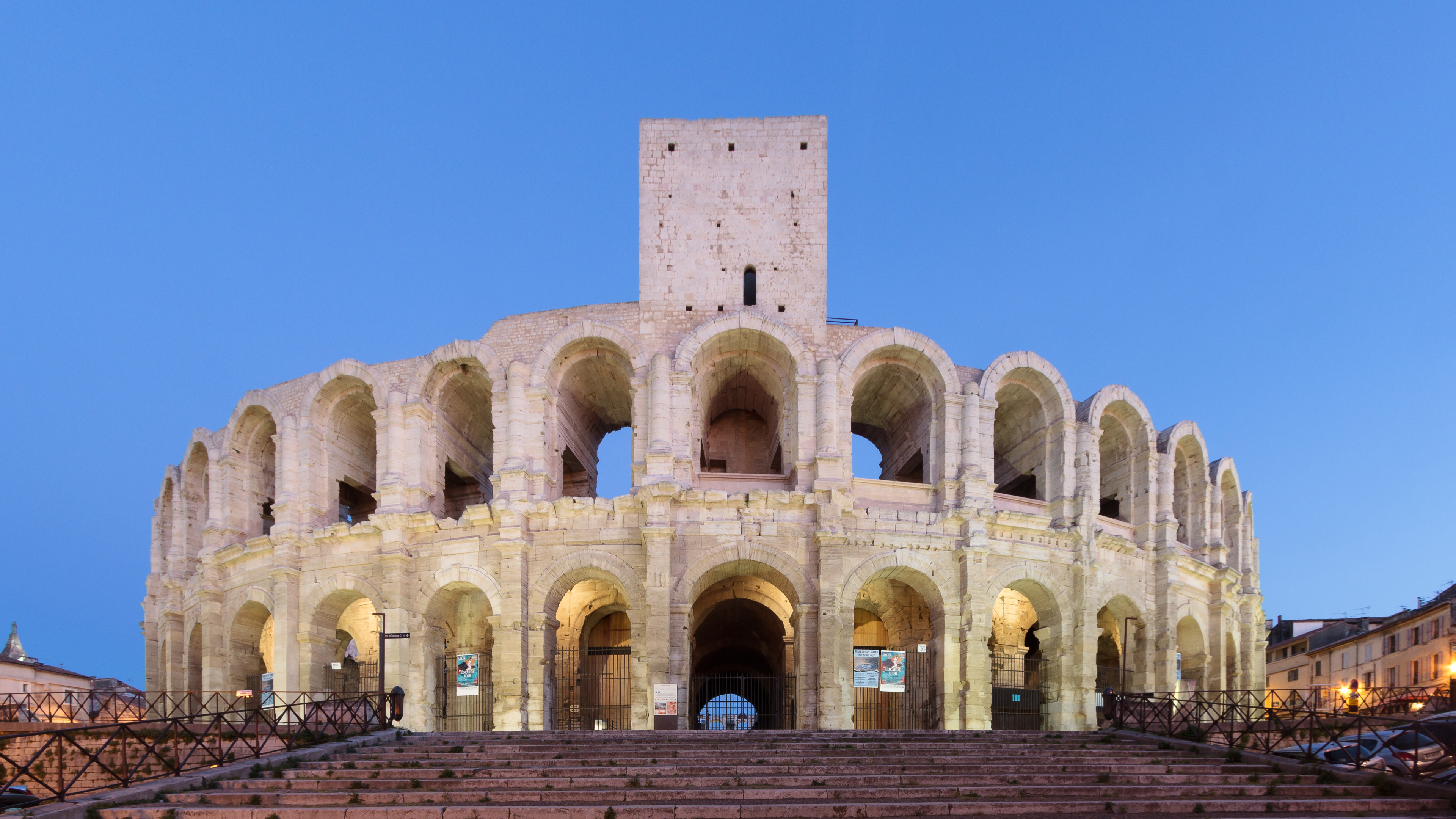
The Arles Amphitheatre (French: Arènes d'Arles; Occitan: Amfiteatre d'Arles) is a Roman amphitheatre in Arles, southern France. Two-tiered, it is likely the most prominent tourist attraction in the city which thrived in ancient Rome. The towers jutting out from the top are medieval add-ons. Built in 90 AD, the amphitheatre held over 20,000 spectators of chariot races and bloody hand-to-hand battles. Nowadays, it draws smaller crowds for bullfighting during the Feria d'Arles, as well as plays and concerts in summer. In 1981, Arles Amphitheatre was listed as a UNESCO World Heritage Site, together with other Roman and medieval buildings of the city, as part of the Arles, Roman and Romanesque Monuments group.
- Category
- Forgotten History
- Location
- France
- Address
- 1 ROND POINT DES ARENES 13104 Arles
- Coordinates
- 43.67775, 4.63092
- How to get there
- Google MapsApple MapsOpenStreetMap
- Wikidata
- Q181189
What is Arles Amphitheatre?
Arles Amphitheatre is a Forgotten History place on VeroMaps, on 1 ROND POINT DES ARENES 13104 Arles. Other places close by: Arelate, Chapelle de la Charité (Arles), The Alyscamps, Verrerie de Trinquetaille.
Where is Arles Amphitheatre?
Arles Amphitheatre is in France. Coordinates: 43.67775, 4.63092.
How do I get to Arles Amphitheatre?
Arles Amphitheatre is at 1 ROND POINT DES ARENES 13104 Arles, France (43.67775, 4.63092). Enter these coordinates in Google Maps, Apple Maps or OpenStreetMap for walking, cycling or driving directions.