Photo corners
Aqueduct of Segovia
s/n, Spain
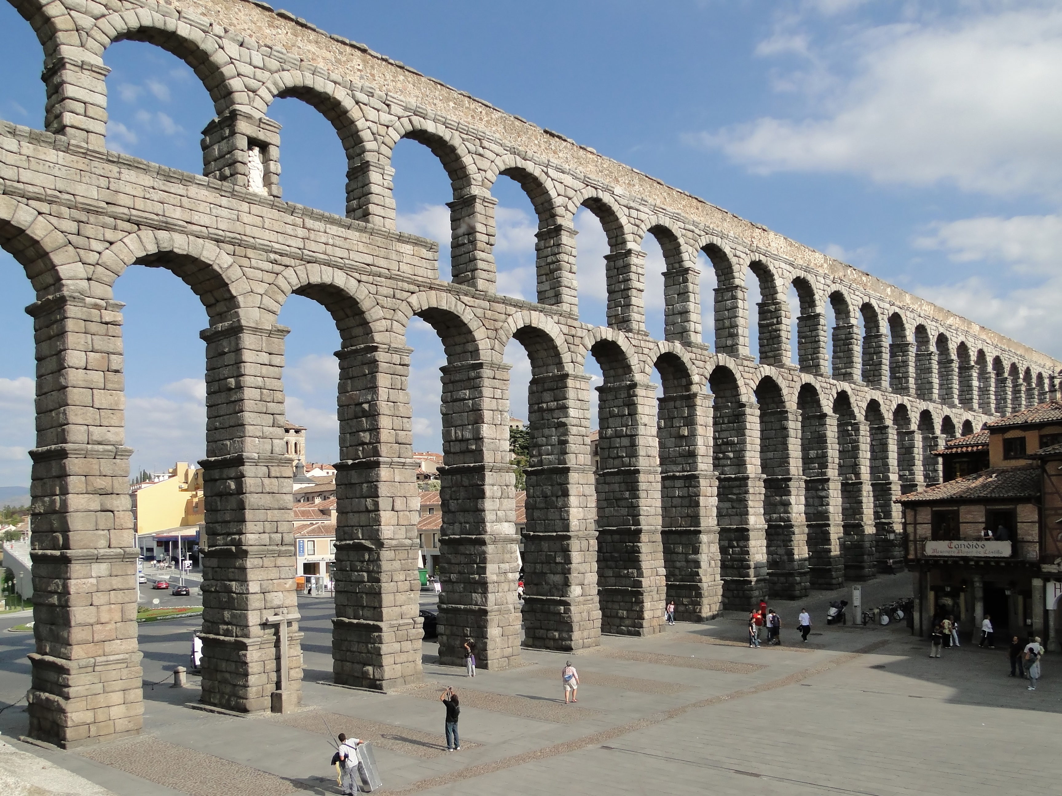
The Aqueduct of Segovia (Spanish: Acueducto de Segovia) is a Roman aqueduct in Spain, built around the first century AD to channel water from springs in the mountains 17 kilometres (11 mi) to Segovia's fountains, public baths and private houses, in use until 1973. Its elevated section, with its complete arcade of 167 arches, is one of the best-preserved Roman aqueduct bridges and the foremost symbol of Segovia, as evidenced by its presence on the city's coat of arms. The Old Town of Segovia and the aqueduct were declared a UNESCO World Heritage Site in 1985.
- Category
- Photo Spots
- Location
- s/n, Spain
- Address
- Plaza del Azoguejo, s/n
- Coordinates
- 40.94789, -4.11781
- How to get there
- Google MapsApple MapsOpenStreetMap
- Wikidata
- Q244947
What is Aqueduct of Segovia?
Aqueduct of Segovia is a Photo Spots place on VeroMaps, on Plaza del Azoguejo. Other places close by: Mesón de Cándido, La Taberna Rubi, El Terminillo, Gallococeado.
Where is Aqueduct of Segovia?
Aqueduct of Segovia is in s/n, Spain. Coordinates: 40.94789, -4.11781.
How do I get to Aqueduct of Segovia?
Aqueduct of Segovia is at Plaza del Azoguejo, s/n, Spain (40.94789, -4.11781). Enter these coordinates in Google Maps, Apple Maps or OpenStreetMap for walking, cycling or driving directions.