Night Life
Angel Hotel
Oxford, United Kingdom
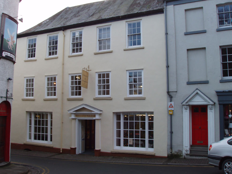
The Angel Hotel, Church Street, Monmouth, Monmouthshire, south-east Wales is a Grade II listed building. The building was in use as an inn in 1700 and closed in 1985, the longest period of continuous history of any public house in Monmouth. The building is of three storeys, with a roof of Welsh slate and a wooden Doric doorcase. During the late nineteenth century, the hotel was the headquarters of the Monmouth Branch of the Cyclists Touring Club. It is one of 24 buildings on the Monmouth Heritage Trail and is now the headquarters of international charity Bees for Development.
- Category
- Night Life
- Location
- Oxford, United Kingdom
- Coordinates
- 51.81272, -2.71419
- How to get there
- Google MapsApple MapsOpenStreetMap
- Wikidata
- Q921460
What is Angel Hotel?
Angel Hotel is a Night Life place on VeroMaps. Other places close by: Griffin, The Beaufort Arms Hotel, Statue of Charles Rolls, Kings Head Hotel.
Where is Angel Hotel?
Angel Hotel is in Oxford, United Kingdom. Coordinates: 51.81272, -2.71419.
How do I get to Angel Hotel?
Angel Hotel is at Oxford, United Kingdom (51.81272, -2.71419). Enter these coordinates in Google Maps, Apple Maps or OpenStreetMap for walking, cycling or driving directions.