Urbex & Abandoned
Anavatos
Chios Municipality, Greece
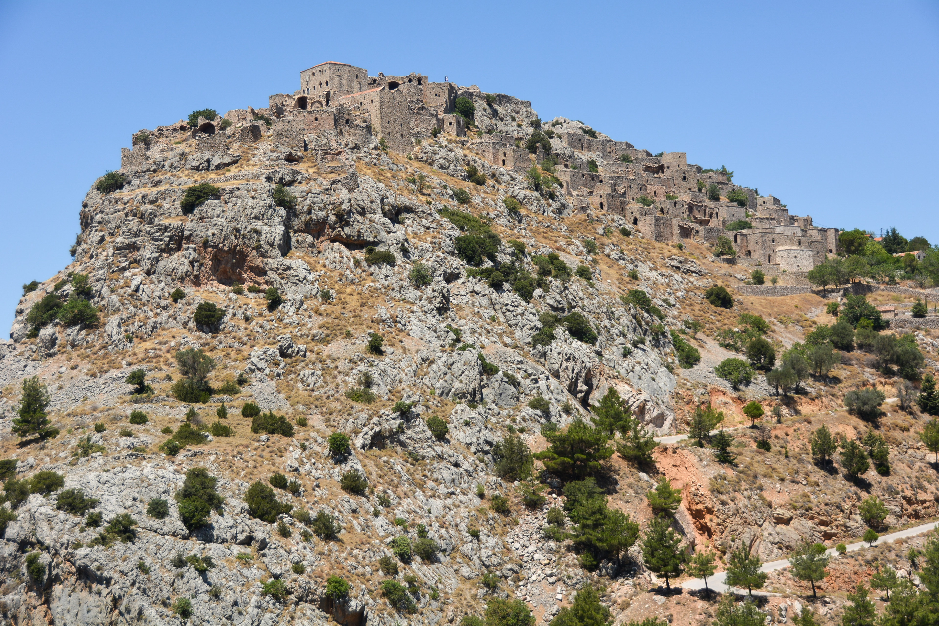
Anavatos (Greek: Ανάβατος) is a medieval, mostly abandoned, village on the Greek island of Chios, 16 km from Chios (town). Created in the Byzantine era, probably by workers of the Nea Moni of Chios, the village was abandoned after the Massacre of Chios in 1822 and the earthquake of 1881. According to the 2021 census there were 10 inhabitants. Above the village stands the medieval fortress.
- Category
- Urbex & Abandoned
- Location
- Chios Municipality, Greece
- Coordinates
- 38.40110, 26.02042
- How to get there
- Google MapsApple MapsOpenStreetMap
- Wikidata
- Q21682902
What is Anavatos?
Anavatos is a Urbex & Abandoned place on VeroMaps. Other places close by: Bayraklı Mosque, Cave Sykia, Wyndham Grand İzmir Özdilek, Sigri lighthouse.
Where is Anavatos?
Anavatos is in Chios Municipality, Greece. Coordinates: 38.40110, 26.02042.
How do I get to Anavatos?
Anavatos is at Chios Municipality, Greece (38.40110, 26.02042). Enter these coordinates in Google Maps, Apple Maps or OpenStreetMap for walking, cycling or driving directions.