Photo corners
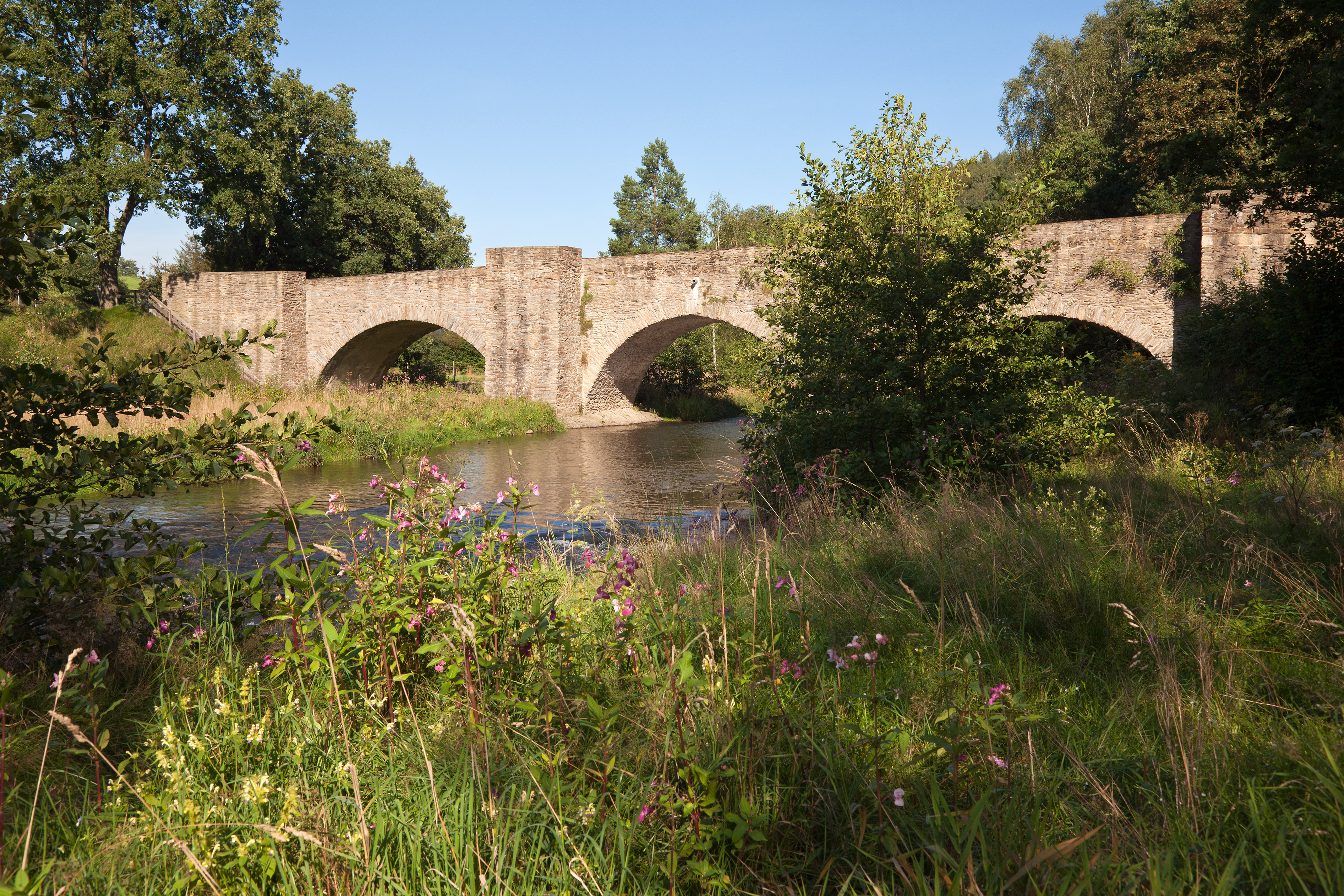
Altväterbrücke
Rothenfurth, Germany
Die Altväterbrücke war ein Aquädukt und die bedeutendste wasserwirtschaftliche Anlage des Halsbrücker Bergbaues. Sie wurde zwischen 1686 und 1715 unter der Leitung des sächsischen Oberberghauptmannes Abraham von Schönberg errichtet. Im Jahre 1893 wurde sie wegen Baufälligkeit abgerissen.
- Category
- Photo Spots
- Location
- Rothenfurth, Germany
- Coordinates
- 50.95849, 13.33126
- How to get there
- Google MapsApple MapsOpenStreetMap
- Wikidata
- Q446345
What is Altväterbrücke?
Altväterbrücke is a Photo Spots place on VeroMaps. Other places close by: Himmelfahrt Mine, Freudenstein Castle, Bieberstein Castle, Drei-Brüder-Schacht.
Where is Altväterbrücke?
Altväterbrücke is in Rothenfurth, Germany. Coordinates: 50.95849, 13.33126.
How do I get to Altväterbrücke?
Altväterbrücke is at Rothenfurth, Germany (50.95849, 13.33126). Enter these coordinates in Google Maps, Apple Maps or OpenStreetMap for walking, cycling or driving directions.