Photo corners
Altenbeken Viaduct
Altenbeken, Germany
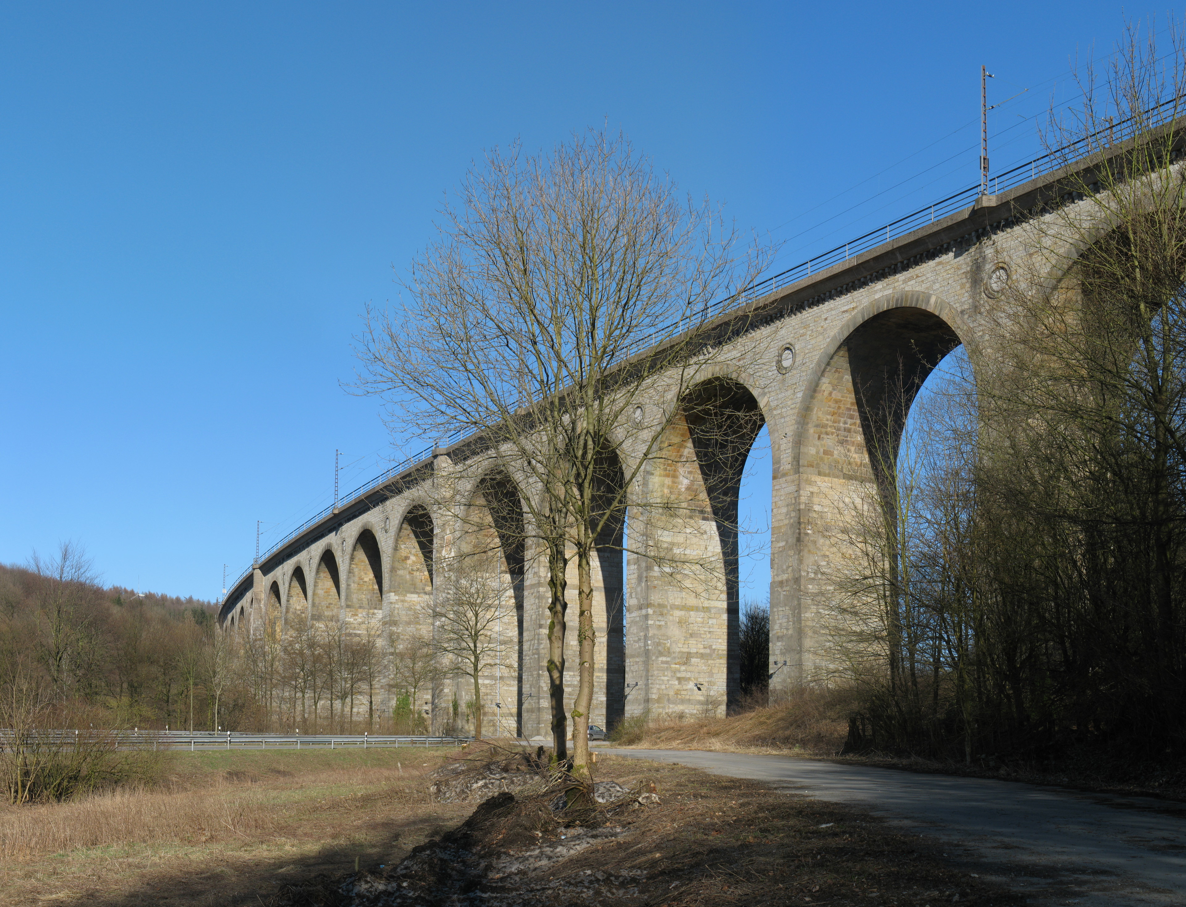
The Altenbeken Viaduct (German: Altenbekener Viadukt, also known as Bekeviadukt or Großer Viadukt Altenbeken) is a double track limestone railway viaduct which spans the Beke valley, west of the town of Altenbeken, in North Rhine-Westphalia, Germany. The bridge is 482 m (1,581 ft) long, with 24 arches each of 15 m (49 ft) span, and up to 35 m (115 ft) high. The viaduct is Europe's longest limestone bridge, and its construction was one of the earliest significant events in the history of rail transport in Germany. As part of the Hamm–Warburg railway between Paderborn and Altenbeken, it is still in use today. It is also the emblem of Altenbeken, and is depicted, in stylized form, on the coat of arms of the municipality.
- Category
- Photo Spots
- Location
- Altenbeken, Germany
- Coordinates
- 51.76250, 8.92556
- How to get there
- Google MapsApple MapsOpenStreetMap
- Wikidata
- Q436661
What is Altenbeken Viaduct?
Altenbeken Viaduct is a Photo Spots place on VeroMaps. Other places close by: Kaiser-Karls-Turm, Lindenkapelle (Bad Lippspringe), Burg Lippspringe, Silbermühle.
Where is Altenbeken Viaduct?
Altenbeken Viaduct is in Altenbeken, Germany. Coordinates: 51.76250, 8.92556.
How do I get to Altenbeken Viaduct?
Altenbeken Viaduct is at Altenbeken, Germany (51.76250, 8.92556). Enter these coordinates in Google Maps, Apple Maps or OpenStreetMap for walking, cycling or driving directions.