Urbex & Abandoned
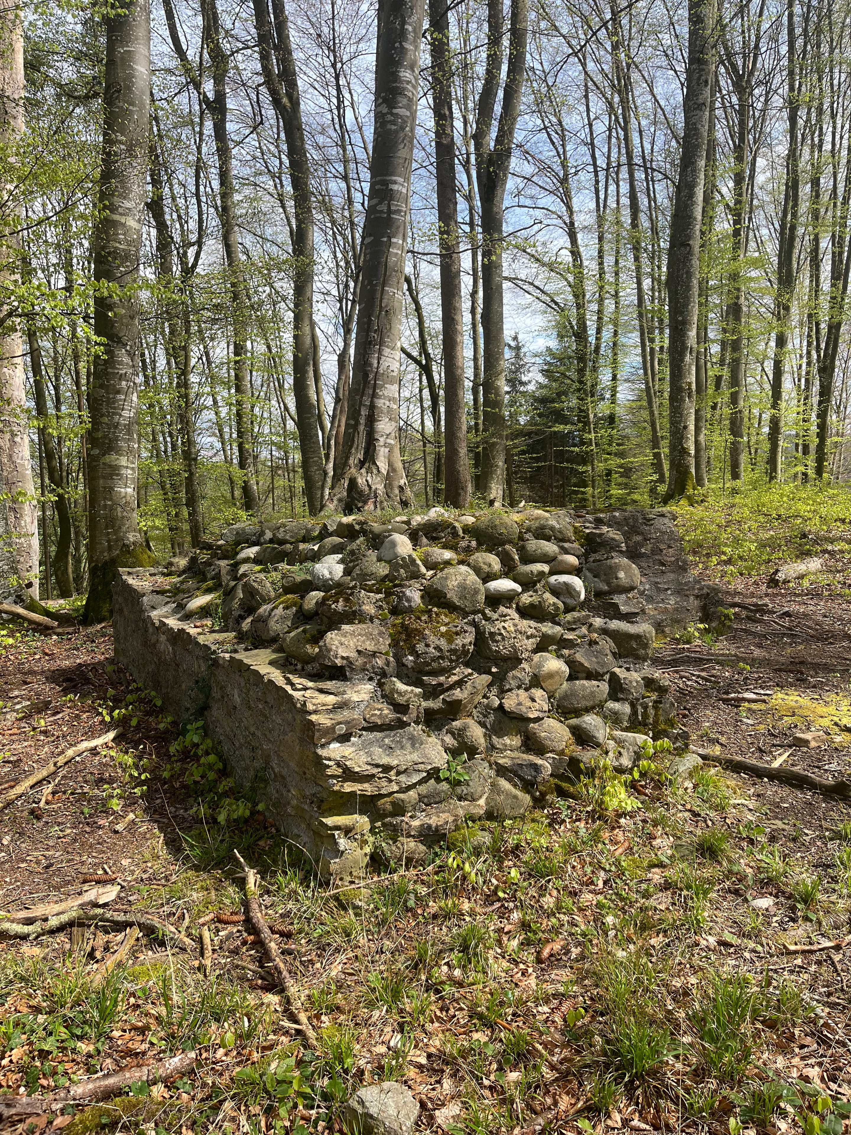
Alt Rued ruins
Schlossrued, Switzerland
Die Ruine Alt Rued ist eine ehemalige Turmburg aus dem 11. Jahrhundert. Sie liegt in der Gemeinde Schlossrued im Schweizer Kanton Aargau. Sie befindet sich auf einem kleinen Hügel gegenüber dem Schloss Rued.
- Category
- Urbex & Abandoned
- Location
- Schlossrued, Switzerland
- Address
- Untere Burghalde, Schlossrued
- Coordinates
- 47.28749, 8.08959
- How to get there
- Google MapsApple MapsOpenStreetMap
- Wikidata
- Q29580716
What is Alt Rued ruins?
Alt Rued ruins is a Urbex & Abandoned place on VeroMaps, on Untere Burghalde. Other places close by: Liebegg Castle, Burgruine Bottenstein, 14 Nothelfer chapel, Gasthaus "Zum Goldenen Ochsen".
Where is Alt Rued ruins?
Alt Rued ruins is in Schlossrued, Switzerland. Coordinates: 47.28749, 8.08959.
How do I get to Alt Rued ruins?
Alt Rued ruins is at Untere Burghalde, Schlossrued, Switzerland (47.28749, 8.08959). Enter these coordinates in Google Maps, Apple Maps or OpenStreetMap for walking, cycling or driving directions.