Urbex & Abandoned
Ahníkov
Málkov, Czech Republic
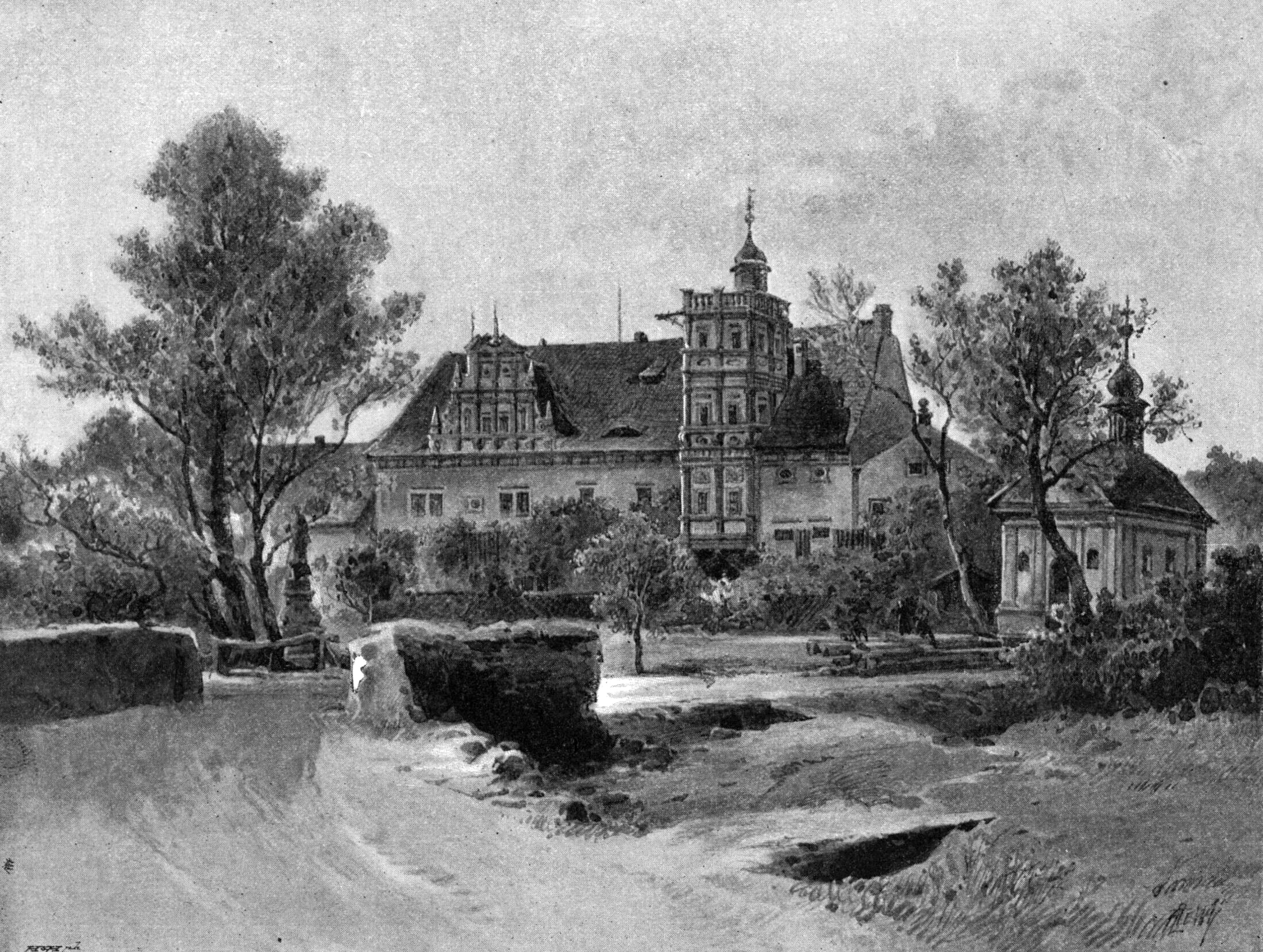
Ahníkov (deutsch: Hagensdorf) war ein Dorf am Saubach im Bezirk Komotau, Tschechien. Sein Kataster mit einer Fläche von 449,2872 ha ist heute Teil der Gemeinde Málkov.
- Category
- Urbex & Abandoned
- Location
- Málkov, Czech Republic
- Coordinates
- 50.43350, 13.32236
- How to get there
- Google MapsApple MapsOpenStreetMap
- Wikidata
- Q27655022
What is Ahníkov?
Ahníkov is a Urbex & Abandoned place on VeroMaps. Other places close by: Zásada, Kralupy u Chomutova, Körbitz, Milžany.
Where is Ahníkov?
Ahníkov is in Málkov, Czech Republic. Coordinates: 50.43350, 13.32236.
How do I get to Ahníkov?
Ahníkov is at Málkov, Czech Republic (50.43350, 13.32236). Enter these coordinates in Google Maps, Apple Maps or OpenStreetMap for walking, cycling or driving directions.