Urbex & Abandoned
Aggstein Castle
Aggstein, Austria
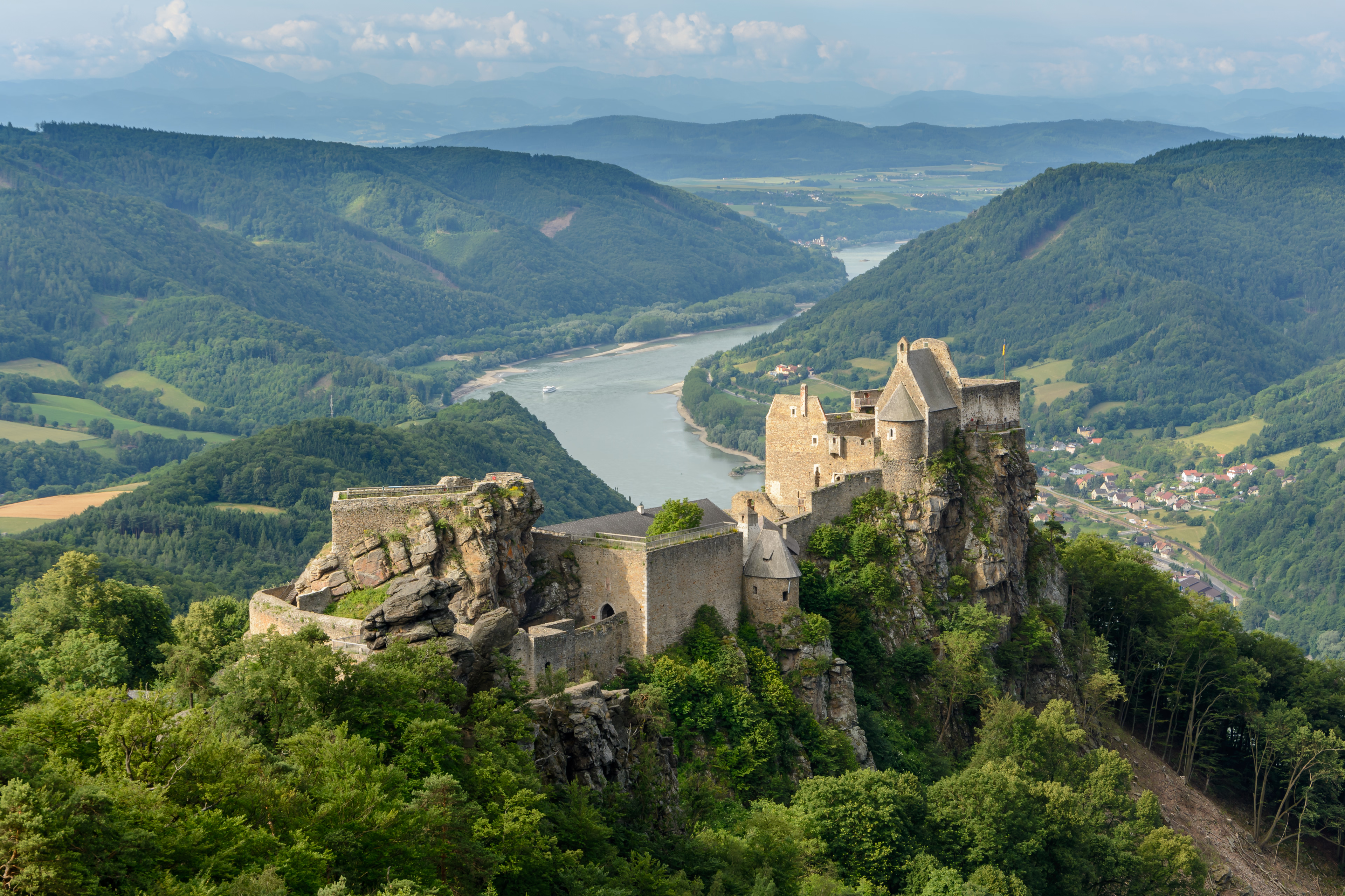
Aggstein Castle (German: Burgruine Aggstein, lit. "castle ruins of Aggstein") is a ruined castle on the right bank of the Danube in Wachau, Austria. The castle dates to the 12th century. Aggstein Castle is 480 metres (1,570 ft) above sea level.
- Category
- Urbex & Abandoned
- Location
- Aggstein, Austria
- Coordinates
- 48.31389, 15.42167
- How to get there
- Google MapsApple MapsOpenStreetMap
- Wikidata
- Q698689
What is Aggstein Castle?
Aggstein Castle is a Urbex & Abandoned place on VeroMaps. Other places close by: Burgruine Wolfstein, Schönbühel-Aggsbach, Ruine Hinterhaus, Burgus Bacharnsdorf, Jauerling Observation Tower.
Where is Aggstein Castle?
Aggstein Castle is in Aggstein, Austria. Coordinates: 48.31389, 15.42167.
How do I get to Aggstein Castle?
Aggstein Castle is at Aggstein, Austria (48.31389, 15.42167). Enter these coordinates in Google Maps, Apple Maps or OpenStreetMap for walking, cycling or driving directions.