Photo corners
Abruka Lighthouse
Saaremaa Rural Municipality, Estonia
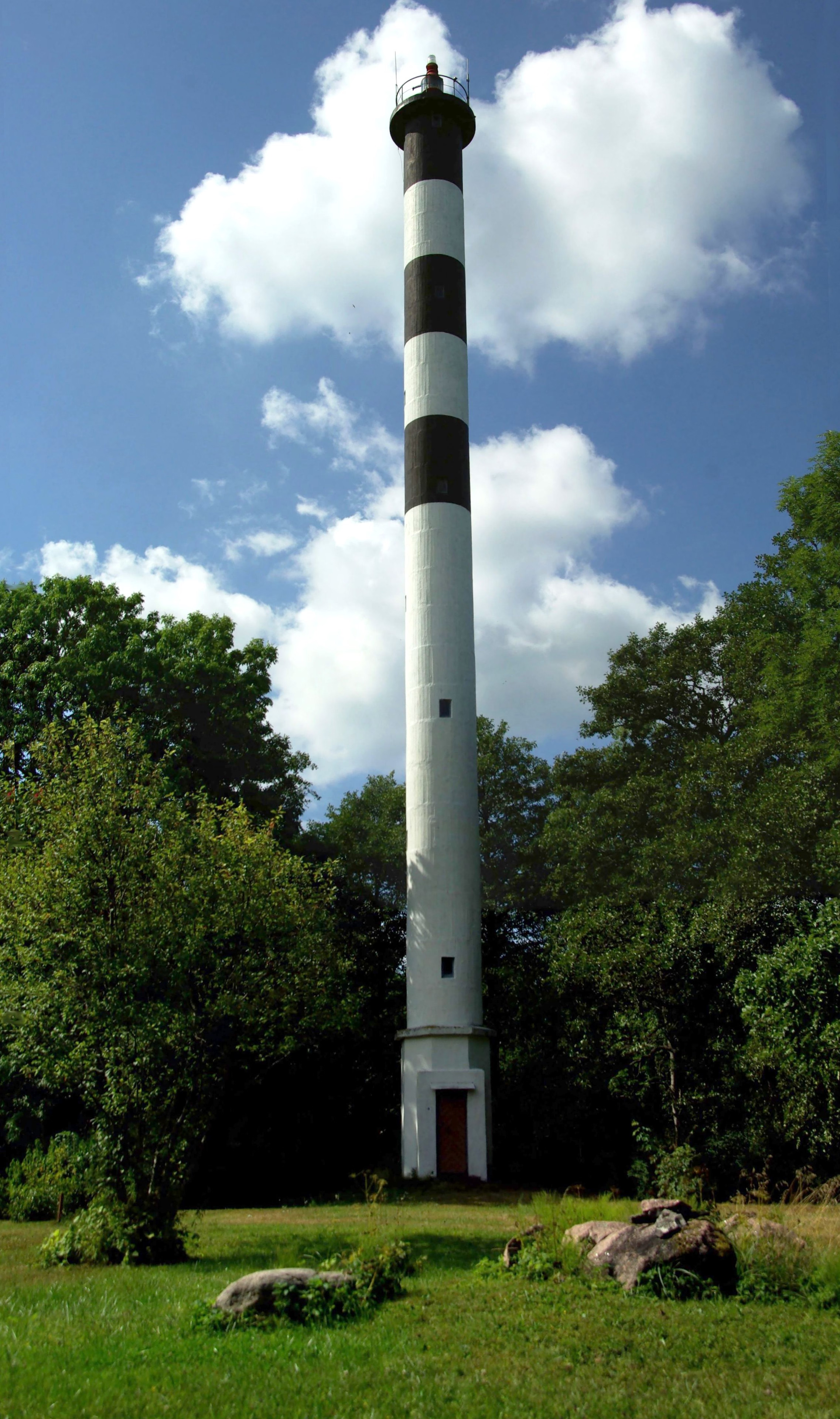
Abruka Lighthouse (Estonian: Abruka tagumine tuletorn) is a lighthouse located on the island of Abruka, in the region of Saaremaa in western Estonia. The first lighthouse in Abruka was built in 1897, a 28-metre-high (92 ft) wooden structure, which had a form of a trellised wooden candelabrum. The current lighthouse was built in 1931, replacing the former wooden structure; the current lighthouse was designed by engineer Ferdinand Adoff, and constructed by Arronet and Boustedt. The lighthouse is 36 metres high, but only 2 metres in diameter, with its cylindrical reinforced concrete structure painted white with three black bands.
- Category
- Photo Spots
- Location
- Saaremaa Rural Municipality, Estonia
- Coordinates
- 58.14907, 22.52432
- How to get there
- Google MapsApple MapsOpenStreetMap
- Wikidata
- Q3376538
What is Abruka Lighthouse?
Abruka Lighthouse is a Photo Spots place on VeroMaps. Other places close by: Kuressaare Castle, Anseküla Lighthouse, Sääretükk Lighthouse, Kaavi Lighthouse.
Where is Abruka Lighthouse?
Abruka Lighthouse is in Saaremaa Rural Municipality, Estonia. Coordinates: 58.14907, 22.52432.
How do I get to Abruka Lighthouse?
Abruka Lighthouse is at Saaremaa Rural Municipality, Estonia (58.14907, 22.52432). Enter these coordinates in Google Maps, Apple Maps or OpenStreetMap for walking, cycling or driving directions.