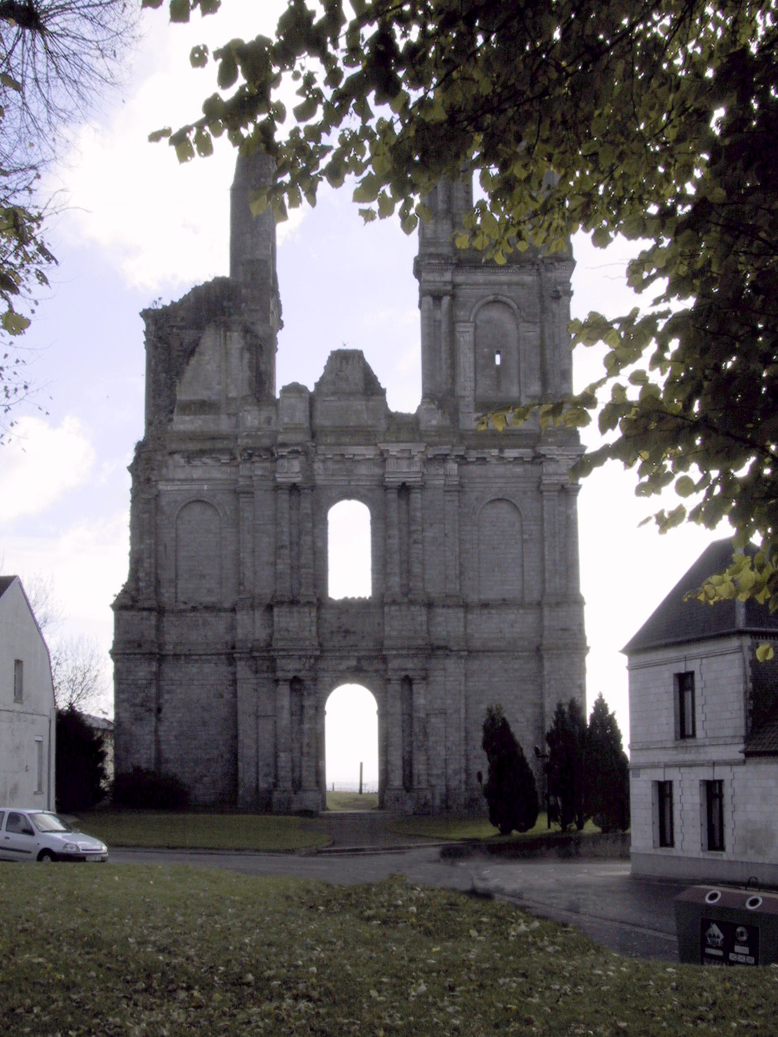
Forgotten History
Abbaye du Mont Saint-Éloi
Mont-Saint-Éloi, France
De Abdij van Mont-Saint-Éloi (Frans: abbaye du mont Saint-Éloi) was een augustijnenabdij in het plaatsje Mont-Saint-Éloi, vlak bij Arras (Atrecht), in de Noord-Franse regio Pas-de-Calais. Het vroegere graafschap Artesië, waar de abdij lag, stond onder controle van het graafschap Vlaanderen en maakte deel uit van de Franse Nederlanden.
- Category
- Forgotten History
- Location
- Mont-Saint-Éloi, France
- Coordinates
- 50.34944, 2.69361
- How to get there
- Google MapsApple MapsOpenStreetMap
- Wikidata
- Q334047
What is Abbaye du Mont Saint-Éloi?
Abbaye du Mont Saint-Éloi is a Forgotten History place on VeroMaps. Other places close by: Les Pierres Jumelles, Fosse n° 1 - 1 bis des mines de Gouy-Servins et Fresnicourt Réunis, Fosse n° 6 - 6 bis des mines de Liévin, Fontaine du Pont-de-Cité.
Where is Abbaye du Mont Saint-Éloi?
Abbaye du Mont Saint-Éloi is in Mont-Saint-Éloi, France. Coordinates: 50.34944, 2.69361.
How do I get to Abbaye du Mont Saint-Éloi?
Abbaye du Mont Saint-Éloi is at Mont-Saint-Éloi, France (50.34944, 2.69361). Enter these coordinates in Google Maps, Apple Maps or OpenStreetMap for walking, cycling or driving directions.