Urbex & Abandoned
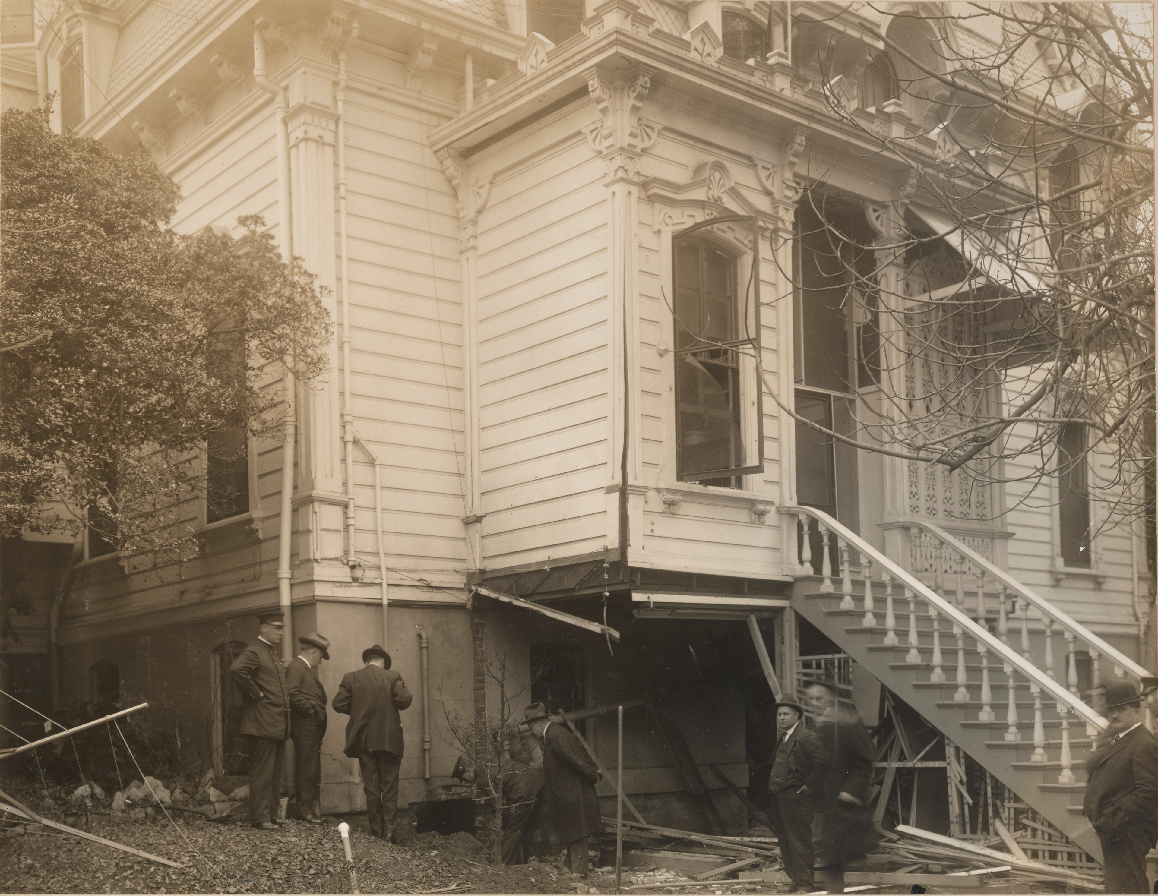
1917 Sacramento Governor's Mansion bombing
United States
The 1917 California Governor's Mansion bombing took place just before midnight on December 17, 1917 when about 25 sticks of dynamite exploded near the rear porch of the Governor's Mansion just blocks from the California State Capitol Building.
- Category
- Urbex & Abandoned
- Location
- United States
- Coordinates
- 38.58010, -121.48490
- How to get there
- Google MapsApple MapsOpenStreetMap
- Wikidata
- Q29075802
What is 1917 Sacramento Governor's Mansion bombing?
1917 Sacramento Governor's Mansion bombing is a Urbex & Abandoned place on VeroMaps. Other places close by: Frank Fat's Restaurant, Heart Health Park, Dunlap's Dining Room, Rusch Botanical Gardens.
Where is 1917 Sacramento Governor's Mansion bombing?
1917 Sacramento Governor's Mansion bombing is in United States. Coordinates: 38.58010, -121.48490.
How do I get to 1917 Sacramento Governor's Mansion bombing?
1917 Sacramento Governor's Mansion bombing is at United States (38.58010, -121.48490). Enter these coordinates in Google Maps, Apple Maps or OpenStreetMap for walking, cycling or driving directions.